On this page
Protect our Communities,
our Forest Preserves
and our Public Transit.
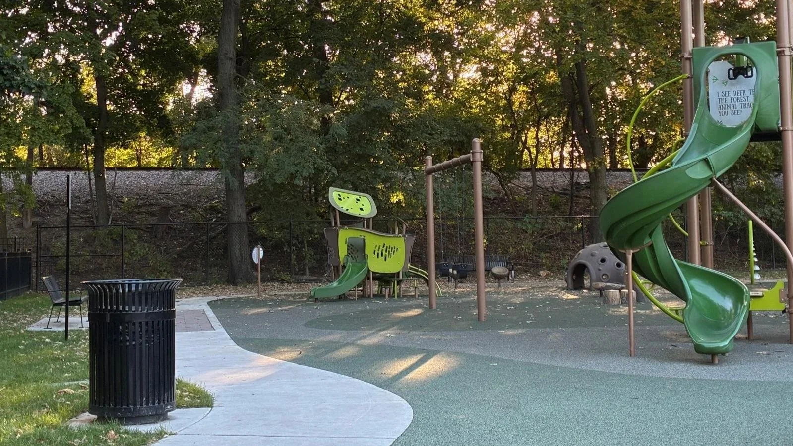
A politically-connected, private company wants to profit off of a new rapid train line that would rip through the heart of Chicagoland communities at 80-110mph.
Not one safety, noise, traffic or environmental study has been done.
Communities and taxpayers will suffer while a corporation profits. Not on our watch
Get Updates
The route
Communities that would be harmed by the O’Hare Flyer route.
Swipe the map sideways to see all of it or rotate your phone horizontally.
Hover over or tap an icon, a red X or a dot to see what it is and how close it sits to the line.
Map keyWhat the lines, shading and red X’s mean.
Proposed routeNew track at O’HareWithin 500 feet of the lineDowntown terminusForest preserveDangerous Street-Level CrossingSchoolPark or gardenFire stationHomes or nursing homeHospitalHome or building beside the lineThe proposed route, downtown to O’Hare: about 18 miles.
Positions are approximate. No alignment has been filed with any agency. Red X’s mark every street-level crossing on the line, from OpenStreetMap; hover over or tap one for the street and what the sponsors have said about it. Icons mark places along the line; hover over or tap one to see what it is and how far it is from the line. Dark dots mark homes within 200 feet of the line in River Forest and Forest Park, buildings within 200 feet in North Lawndale, and the buildings beside the line at 13th Street and Western and on 15th Street between Laflin and Throop. The shaded band shows everything within 500 feet of the line.
Along the route
They call it an industrial corridor.
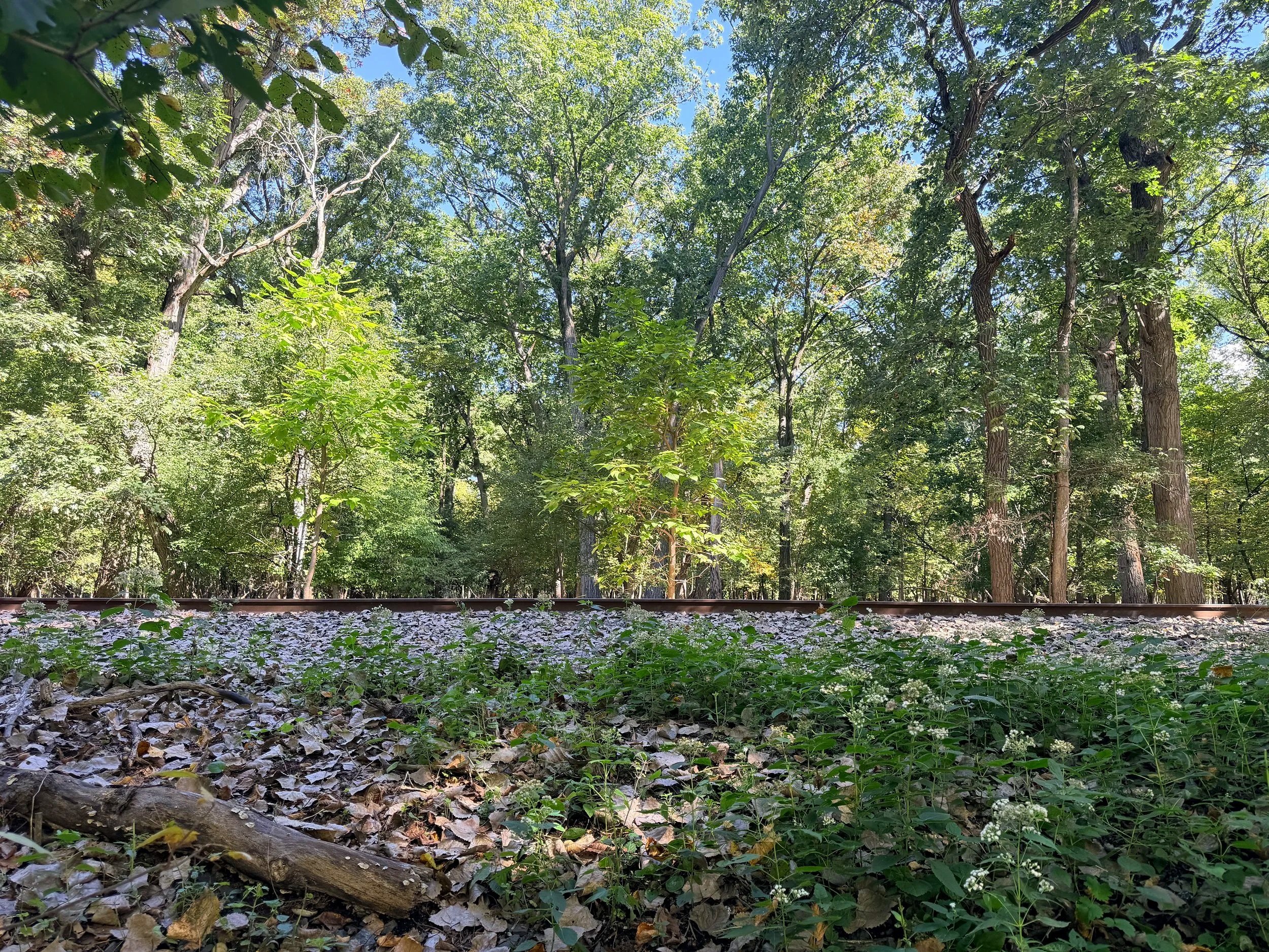
The sponsors describe the route as existing and largely unused freight rail line. Here is some of what sits along the route.
Every community on the line, measured the same way: the same 500 feet, the same sources.
Schiller Park332 buildings within 500 feet of the line
1.8 miles of the line
144 trains a day, from 4am to 10pm, with freight overnight, on the Canadian National tracks, the busiest freight stretch of the route, where new track would most likely have to be built. Past the village’s fire station, police station and village hall.
Closest to the line
- Village Community Center375 ft
- Fire Department375 ft
- Recreation Center385 ft
- Police Department390 ft
- Village Hall390 ft
Buildings and places: OpenStreetMap, October 1, 2026. Distances measured from the coalition’s trace of the line. Train counts and hours: the sponsors’ presentation, September 3, 2026. Tracks and new track: Journal & Topics, September 2026.
Franklin Park3 parks and playgrounds within 150 feet of the line
2.0 miles of the line
144 trains a day, from 4am to 10pm, with freight overnight, past three parks within 150 feet, across streets the sponsors have not committed to raise.
Dangerous Street-Level Crossings
- Belmont AvenueUpgraded gates only. Raising the street is something they “would like,” but not a commitment.
- Chestnut AvenueThey intend to ask for it to be closed.
- Fullerton Avenue, beside Latoria ParkNot mentioned at all.
Closest to the line
- Latoria Park70 ft
- Junction Park110 ft
- Birch Park130 ft
- Culinary Copack600 ft
Buildings and places: OpenStreetMap, October 1, 2026. Distances measured from the coalition’s trace of the line. Crossings, quotes and train counts: the sponsors’ presentation, September 3, 2026, at 16:44.
River Grove836 ft from Triton College
0.4 miles of the line
144 trains a day, from 4am to 10pm, with freight overnight, past Triton College.
Closest to the line
- Triton College836 ft
Buildings and places: OpenStreetMap, October 1, 2026. Distances measured from the coalition’s trace of the line. Train counts and hours: the sponsors’ presentation, September 3, 2026.
Melrose Park105 ft from Gottlieb Memorial Hospital, a Level II trauma center
1.4 miles of the line
144 trains a day, from 4am to 10pm, with freight overnight, across three streets at street level, one of them on the approach to Gottlieb’s trauma center.
Dangerous Street-Level Crossings
- First AvenueUpgraded gates only. Raising the street is something they “would like,” but not a commitment.
- Fifth Avenue, on the approach to GottliebUpgraded gates only. Raising the street is something they “would like,” but not a commitment.
- George StreetUpgraded gates only. Raising the street is something they “would like,” but not a commitment.
Closest to the line
- Costco80 ft
- Gottlieb Memorial Hospital105 ft
- A school (name to confirm)150 ft
- A1 Tool Corporation765 ft
Buildings and places: OpenStreetMap, October 1, 2026. Distances measured from the coalition’s trace of the line. Crossings, quotes and train counts: the sponsors’ presentation, September 3, 2026, at 16:44.
Thatcher Woods2 tracks through the woods where there is one today, by the sponsors’ own account
Cook County forest preserve
The track through Thatcher Woods would double. The sponsors’ representative says the old track would be torn out and two new tracks laid, one of them on ground that has been regrowing for 20 years. The line would rise 15 feet over Thatcher Avenue, then slope down into the preserve. No environmental review has been completed or filed.
What it could cost the woods
- Twenty years of regrowthThe second track would go on ground that has been regrowing since a track was removed about 20 years ago.
- Wildlife movementAnimals move between the preserve and the neighborhoods around it. A doubled, fenced rail corridor could cut those paths. No one has studied it.
- Tree rootsThe sponsors’ representative said there are no roots under the tracks, then said the ecological impact was something they “would have to confirm with the Forest Preserve.”
What they would not commit to
- An independent wildlife studyDeclined. They would “follow the Forest Preserve’s lead.”
- Forest Preserve supportNone on record.
The preserve’s outline is drawn from where the buildings stop, so it includes the Des Plaines River. It is approximate.
Half mile: measured from the coalition’s trace. Double track, rise over Thatcher Avenue, fencing and quotes: the sponsors’ representative at a community meeting, October 1, 2026, from the coalition’s notes. Train counts: the sponsors’ presentation, September 3, 2026.
River Forest465 homes a stone’s throw from the track. The closest is about 35 feet away.
1.5 miles of the line
In the sponsors’ own description: a berm 15 feet high, a sound wall on top of it and an 8-foot fence on top of that, 27½ feet from the ground, through the middle of the village. 144 trains a day, from 4am to 10pm, with freight overnight.
Dangerous Street-Level Crossings
- Thatcher Avenue, Keystone Avenue, Augusta Street and Forest AvenueTo be carried over on bridges and earth berms, part of the 27½-foot structure.
Closest to the line
- Forest & Augusta Triangle Park50 ft
- Washington Square Park105 ft
- Washington Commons playground105 ft
- Fresenius Kidney Care dialysis clinic120 ft
- Police Department130 ft
- Fire Department195 ft
Buildings and places: OpenStreetMap, October 1, 2026. Distances measured from the coalition’s trace of the line. Homes counted within 500 feet of the line; closest measured to the building’s wall. Berm, wall, fence and crossings: the sponsors’ presentation, September 3, 2026, at 16:44 and 27:24. Train counts and hours: the sponsors’ presentation, September 3, 2026.
Forest Park356 buildings within 500 feet of the line
1.0 mile of the line
144 trains a day, from 4am to 10pm, with freight overnight, past the community center, the Altenheim senior residence and the businesses on Madison Street. A Forest Park stop has been dangled like a carrot, not promised. In the sponsors’ own words: “No commitments have been made,” “no agreements have been reached,” “no detailed conversations have been had.”
Dangerous Street-Level Crossings
- Madison StreetThe sponsors say they “believe” they can raise it. A belief, not a commitment.
Closest to the line
- ViaClay Member Studio70 ft
- Howard Mohr Community Center140 ft
- The Original Steaks and Hoagies165 ft
- The Altenheim415 ft
Buildings and places: OpenStreetMap, October 1, 2026. Distances measured from the coalition’s trace of the line. Madison Street, the stop and quotes: the sponsors’ presentation, September 3, 2026, at 16:18 and 25:51. Train counts and hours: the sponsors’ presentation, September 3, 2026.
Oak Park1,221 buildings within 500 feet of the line
2.1 miles of the line
144 trains a day, from 4am to 10pm, with freight overnight, along the Eisenhower Expressway, at 110 miles an hour on track built for 125, in the sponsors’ own words. Three tracks rebuilt. Past a fire station, a day care and a playground. No stop in Oak Park. No noise or vibration study.
Closest to the line
- Barrie Center Tot Lot105 ft
- Oak Park Fire Station #3130 ft
- Back 2 Basics Day Care155 ft
Buildings and places: OpenStreetMap, October 1, 2026. Distances measured from the coalition’s trace of the line. Train counts and hours: the sponsors’ presentation, September 3, 2026. Speeds and rebuilt tracks: the sponsors’ presentation, September 3, 2026, at 11:09 and 30:51. Route: Journal & Topics, September 2026.
Austin180 ft from Generations at Columbus Park, a nursing home
1.3 miles of the line
144 trains a day, from 4am to 10pm, with freight overnight, on the CSX line, at 110 miles an hour on track built for 125, in the sponsors’ own words. Three tracks rebuilt. Past a nursing home. No stop in Austin. No noise or vibration study.
Closest to the line
- Generations at Columbus Park nursing home180 ft
Buildings and places: OpenStreetMap, October 1, 2026. Distances measured from the coalition’s trace of the line. Train counts, hours, speeds and rebuilt tracks: the sponsors’ presentation, September 3, 2026, at 11:09 and 30:51.
North Lawndale and West Garfield Park3 schools within 400 feet of the line
3.0 miles of the line
144 trains a day, from 4am to 10pm, with freight overnight, at up to 110 miles an hour on the CSX line, in the sponsors’ own words, past three schools, a firehouse and a community garden. No stop on the West Side. No noise or vibration study.
Closest to the line
- DRW College Prep160 ft
- Homan Square Park270 ft
- Fire Engine Company 107280 ft
- A community garden (name to confirm)285 ft
- Shepard School360 ft
- Webster Elementary School385 ft
Buildings and places: OpenStreetMap, October 1, 2026. Distances measured from the coalition’s trace of the line. Train counts, hours, speeds and rebuilt tracks: the sponsors’ presentation, September 3, 2026, at 11:09 and 30:51.
Little Italy, University Village and the West Loop261 buildings within 500 feet of the line: residences, businesses and a public park
3.5 miles of the line
144 trains a day, from 4am to 10pm, with freight overnight, on the Union Pacific line, with the railroad’s maintenance center on the former Union Pacific Global One yard, ending in a terminal on the lower level of Canal Street. Past a community garden, a park district center and a shelter.
Closest to the line
- Morgan Street Native Garden75 ft
- ComEd Recreation Center at Addams Park385 ft
- Jane Addams Park560 ft
- Pacific Garden Mission shelter595 ft
Buildings and places: OpenStreetMap, October 1, 2026. Distances measured from the coalition’s trace of the line. Train counts, hours, maintenance center and terminal: the sponsors’ presentation, September 3, 2026, at 11:29 and 12:34.
Pilsen4 schools within 700 feet of the line
Along Pilsen’s northern edge
144 trains a day, from 4am to 10pm, with freight overnight, along the northern edge of Pilsen, near blocks of homes and four schools. No stop in Pilsen. No noise or vibration study.
Closest to the line
- Jefferson Playlot Park480 ft
- Acero Bartolomé de las Casas Elementary625 ft
- Saint Procopius Elementary670 ft
- Jungman Elementary670 ft
- Pilsen Community Academy700 ft
Buildings and places: OpenStreetMap, October 1, 2026. Distances measured from the coalition’s trace of the line. Train counts and hours: the sponsors’ presentation, September 3, 2026.
Who is behind it
Who benefits?
A private railroad with a public safety net.
If it works, private investors keep the profit. If it fails, the public is left to fix, finish, or tear it down.
The O’Hare Flyer is funded by private investors who have not been named, and led by three politically connected insiders who do not reside on or pay taxes along the proposed route.
They describe it as privately funded. Look at the financing, and the public is in it from the start.
“Private” money often isn’t private.Federal rail loans and tax-exempt bonds put taxpayers on the hook.
The cheapest money for a rail project like this is public credit: federal rail loans and tax-exempt bonds. By their own account, once private investors fund construction, the sponsors plan to apply for a federal RRIF loan, a U.S. Department of Transportation lending program, and the team says it has had early talks with federal officials. If the loan goes bad, the loss falls on taxpayers.
The payoutInvestors repaid. Insiders off the hook.
The loan would refinance the construction debt, so the investors get paid back. Once that happens, it does not matter whether they have a sound business model or enough ridership to sustain operations. The insiders would face no personal liability if the railroad fails.
The fareUndisclosed, and well above CTA by their account.
It hasn’t been disclosed. By the sponsors’ account it would be “significantly more than CTA.” That makes it a train most taxpayers would help finance and few would ride.
The fallbackIf it falls short, the public would be left holding it.
Brightline, the closest precedent, missed the ridership it borrowed against and filed for Chapter 11 in September 2026 with $7.1 billion in debt across the company, by its own sworn filing. Toronto’s airport express was pitched as private too. The private partner backed away when the numbers didn’t work, the province built it, and in its first ten months taxpayers covered about $52 a ride. Chicago has seen this before: when the Rock Island railroad went bankrupt, the region took over its commuter service, which runs today as Metra’s Rock Island Line. The full record is below.
The track recordPrivate passenger rail in America has a long history of ending up with the public.
- 1971 · The private railroads give up passenger service. After decades of losses, the nation’s private railroads cut passenger routes from 107,000 miles in 1958 to 49,000 by 1970. Penn Central, the largest railroad in the Northeast, moved to drop 34 trains while heading into bankruptcy. On May 1, 1971, twenty railroads handed what was left to a new public corporation: Amtrak.
- 1980 · The Rock Island. When the Rock Island railroad collapsed, the public took over its Chicago commuter trains. They run today as Metra’s Rock Island Line.
- 1994 · Texas TGV. A French-American consortium won a 50-year franchise in 1991 for a Dallas–Houston–San Antonio bullet train and said private investors would pay for it. It missed a deadline to raise $170 million in equity, and Texas revoked the franchise in August 1994. More than $40 million had been spent.
- 1999 · Florida Overland eXpress. A Fluor Daniel–Bombardier–Alstom consortium held a franchise for a Miami–Orlando–Tampa line. Public money was in it from the start: federal law offered up to a third of the cost. The state pulled its funding in January 1999 and the project ended.
- 2008 · Chicago’s own O’Hare express. The city spent about $250 million on a downtown “superstation” under Block 37 for express trains to O’Hare and Midway. The express service was never funded, the station was mothballed in 2008, and the bonds are still being paid.
- 2010 · The Las Vegas Monorail. Built for $650 million as a private, not-for-profit line. Ridership fell short, and it filed for Chapter 11 in January 2010. Bondholders took the loss when its debt was cut to $13 million. It closed and filed again in 2020, and the public tourism authority bought it for $24 million.
- 2019 · Chicago’s other O’Hare express. In 2018 the city chose Elon Musk’s Boring Company to build and run an O’Hare express tunnel with, by its account, no city money. No contract was ever signed. A year later the new mayor called the no-city-money idea “a total fantasy,” and the plan was dropped.
- 2026 · Brightline. The only private intercity passenger railroad built in the United States in a century missed the ridership it borrowed against. In September 2026 its parent companies filed for Chapter 11 with $7.1 billion in debt across the company, by its own sworn filing, including $2.2 billion in tax-exempt bonds. Its trains still run; its lenders are the ones holding the loss.
Texas Central, the Dallas–Houston line announced in 2014 as fully private, has not laid track. Its federal planning grant was pulled in April 2025.
The structureConcrete doesn’t go bankrupt.
A 27½-foot berm, sound wall and fence through River Forest and an elevated track in Forest Park stay standing if the company doesn’t. Someone would have to run them or tear them down. The sponsors haven’t said who.
The crossingsWho pays? The sponsors haven’t said.
Closing Chestnut Street, rebuilding crossings and rerouting emergency response would all cost money. The sponsors haven’t said who would pay.
The upside is theirs. The downside is yours.
Read what we know
What is at stake
The true public cost.
The sponsors have not studied what this railroad would do to the places it runs through. Here is what that leaves unanswered.
Our communities
Safety.Trains every 7½ minutes, crossings at street level, no safety study.
According to the sponsors, trains would run every 7½ minutes, at an average of 80 mph and up to 110. Four crossings may stay at grade: First, Fifth, George and Belmont. They have asked to close Chestnut Street. They have not said what would happen at other crossings, including Fullerton Avenue in Franklin Park, next to a playground.
Gottlieb Memorial Hospital, a Level II trauma center, sits about 105 feet from the line, and River Forest’s police and fire departments are along the route. Brightline, the closest precedent, has been involved in a death every 13 days.
No safety or emergency-response study has been completed.
Quality of life.144 trains a day, and freight through the night.
There would be 144 trains a day from 4am to 10pm, with freight and maintenance overnight. They would pass homes, parks, schools and a senior residence, some within a few hundred feet, and more than a mile of River Forest backyards.
No noise, vibration or traffic study has been completed.
Public health.Homes, schools, a hospital and a senior residence beside the line.
Trains would run by day and freight by night beside homes, schools, a hospital and a senior residence. How that would affect sleep, air quality and the people who live closest has not been studied.
Taxpayer money.Called private, but the plan leans on public credit.
The sponsors describe the O’Hare Flyer as privately funded. By their own account, once private investors fund construction, they plan to apply for a federal RRIF loan from the U.S. Department of Transportation. If the loan goes bad, the loss falls on taxpayers.
Private passenger rail in the U.S. has a long record of failure. Railroads lost so much money carrying passengers that Congress created Amtrak in 1971 to take it over, and Brightline, the closest precedent, filed for bankruptcy in September 2026. If this one fails too, Chicagoland taxpayers would be left to support an elite train with low ridership that doesn’t support or benefit Cook County communities.
Closing Chestnut Street, rebuilding crossings and rerouting emergency response would all cost money. The sponsors haven’t said who would pay.
Our forest preserves
Thatcher Woods.The line would cut through a Cook County forest preserve.
The line would cut through Thatcher Woods, a Cook County forest preserve, and the track through the woods would double. By the sponsors’ representative’s own account, the old track would be torn out and two new tracks laid, one on ground that has been regrowing for 20 years, rising 15 feet over Thatcher Avenue.
The sponsors declined to commit to an independent wildlife study, saying they would follow the Forest Preserve’s lead. That leaves the cost of studying a private railroad’s damage to a public agency. No Forest Preserve endorsement is on record, and no environmental review has been completed or filed. Commissioner Maggie Trevor has written in the preserve’s defense.
Our public transit
It would compete with the Blue Line and Metra for riders.An express for airport travelers would draw riders from public transit.
An express built for airport travelers would draw its riders from somewhere, and the Blue Line and Metra are the obvious places. That would come just as the region has restructured how it funds transit.
We have not seen a ridership forecast from the sponsors showing where their riders would come from.
Reinvest in Metra and the Blue Line instead.Both already reach O’Hare. Both could do far more.
The CTA Blue Line already runs into the O’Hare terminals around the clock for $2.50. Metra’s North Central Service reaches the airport for $3.75, but only on weekdays, with a handful of trains and a people-mover between the station and the terminals.
Faster, more reliable Blue Line service, and more Metra trains with weekend service and a better link to the terminals, would serve travelers and commuters from across the region, not one premium airport run. Oak Park Village Trustee Jim Taglia has called Blue Line and Green Line investment a far better use of public funds.
That is public money spent on public systems, for everyone who rides them.
Not one safety, traffic, noise, vibration or environmental study has been completed.
Ask your officials to demand the studies before this goes any further.
Write to your officials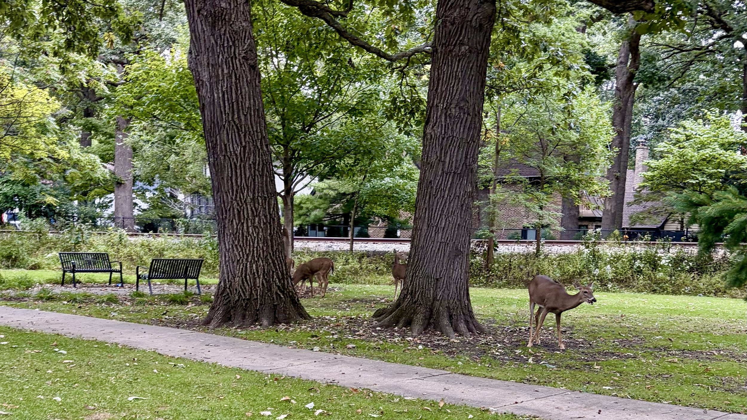
The public plan for O’Hare
A train to O'Hare that works for everyone: Regional Rail 1.0
Metra, a public agency, already runs trains to O’Hare. Its draft plan would expand service to every 30 minutes, all day, from Union Station. All it needs now is funding.
30 min
between trains to O’Hare, all day, every day
$100M
to build, by Metra’s estimate
0
new trains needed
What threatens it
A private venture, the O’Hare Flyer, is asking for public support for its own O’Hare line through eleven communities and a forest preserve. It is competing for the same public support, from the same officials, that Metra’s expansion needs.
The Flyer wouldn’t add to public transit. It would compete with it, for the same track, the same riders and the same public support.
Fund Regional Rail 1.0Who has spoken up
Officials across the region are asking questions.
A unanimous village board resolution, a conference of 37 municipalities, a county commissioner, a mayor and a village trustee.Show who and when
- Sept 29Jim Taglia, Oak Park Village Trustee.
- Sept 14River Forest Village Board, Resolution R-26-10, unanimous.
- Sept 14Mayor Ronald Serpico, Melrose Park, on the First, Fifth and George crossings.
- Sept 11West Central Municipal Conference, 37 member municipalities.
- Sept 10Cook County Commissioner Maggie Trevor, on Thatcher Woods and the untested alternatives.
They share one request: the affected communities have not been given the impact analyses, and the project should not move forward in its current form.
Sources
Where this comes from.
Everything on this page comes from the record. Where a claim is the coalition’s own reading rather than a published figure, we say so.
Show all sourcesEight groups, from the sponsors’ own presentation to the opposition letters.
- The route, the frequency, the crossings and the speeds. The O’Hare Flyer presentation to the High Speed Rail Alliance, September 3, 2026, including the question-and-answer session; the developers’ published route map.
- What sits along the line, and the distances. Measured against the coalition’s trace of the corridor, drawn from the sponsors’ published materials. Approximate: no alignment has been filed with any agency.
- Buildings, places and community boundaries. OpenStreetMap contributors, retrieved October 1, 2026. OpenStreetMap may not include every building, and most buildings outside River Forest and Forest Park are not tagged by type, so the cards count buildings, not homes.
- Thatcher Woods: double track, the rise over Thatcher Avenue, fencing and the wildlife study. The sponsors’ representative at a community meeting, October 1, 2026, from the coalition’s notes.
- How the line would run, and the tracks it would use. Journal & Topics, September 2026; Wednesday Journal, September 1, 2026.
- The CTA and Metra figures. Chicago Transit Authority and Metra published fares and schedules.
- The financing. U.S. Department of Transportation, Build America Bureau: Railroad Rehabilitation and Improvement Financing program terms and eligible borrowers.
- Brightline. Bloomberg, the Bond Buyer and the Associated Press on the Chapter 11 filing of September 25, 2026, including the state-issued tax-exempt bonds; the Miami Herald and WLRN investigation of deaths along the corridor.
- Toronto’s airport express. Toronto Star reporting on the UP Express’s first ten months.
- The Rock Island precedent. Metra’s history of the Rock Island District: the railroad entered bankruptcy in 1975, and the Regional Transportation Authority bought its commuter service in 1982.
- The opposition letters. Cook County Commissioner Maggie Trevor, September 10; the West Central Municipal Conference, September 11; the Village of Melrose Park, September 14; River Forest Village Board resolution R-26-10, September 14; Oak Park Village Trustee Jim Taglia, Wednesday Journal, September 29.
Found an error? Tell us and we will correct it. Every claim on What we know carries its own sources.
Join us
Add your name to the list.
We’re for safe communities, protected forest preserves and public transit that works for everyone. Adding your name takes a few seconds. We send only what matters, and we never share your address.
If a comment period opens or a village board takes a vote, this is how you hear about it in time to act. Get updates →