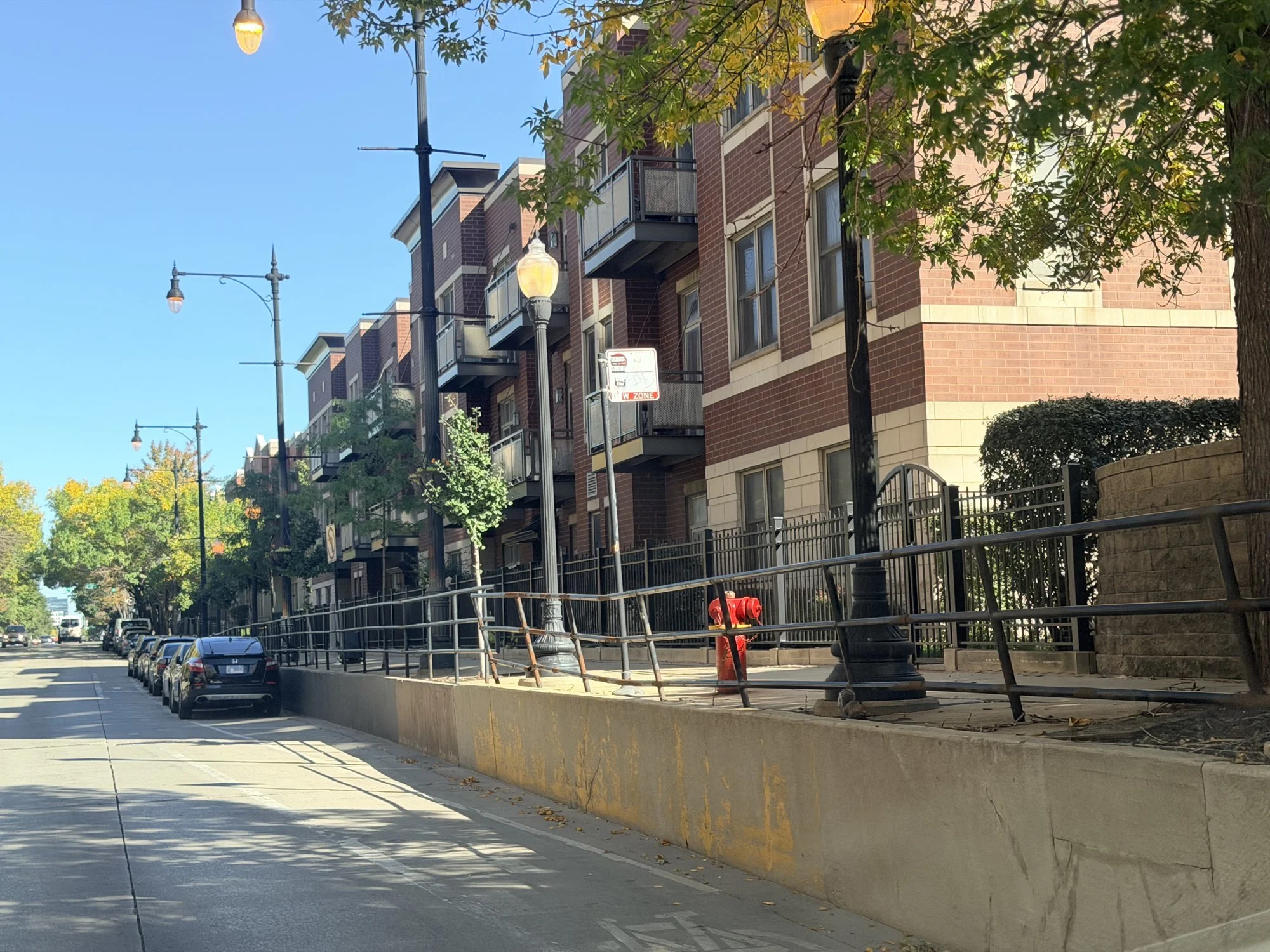
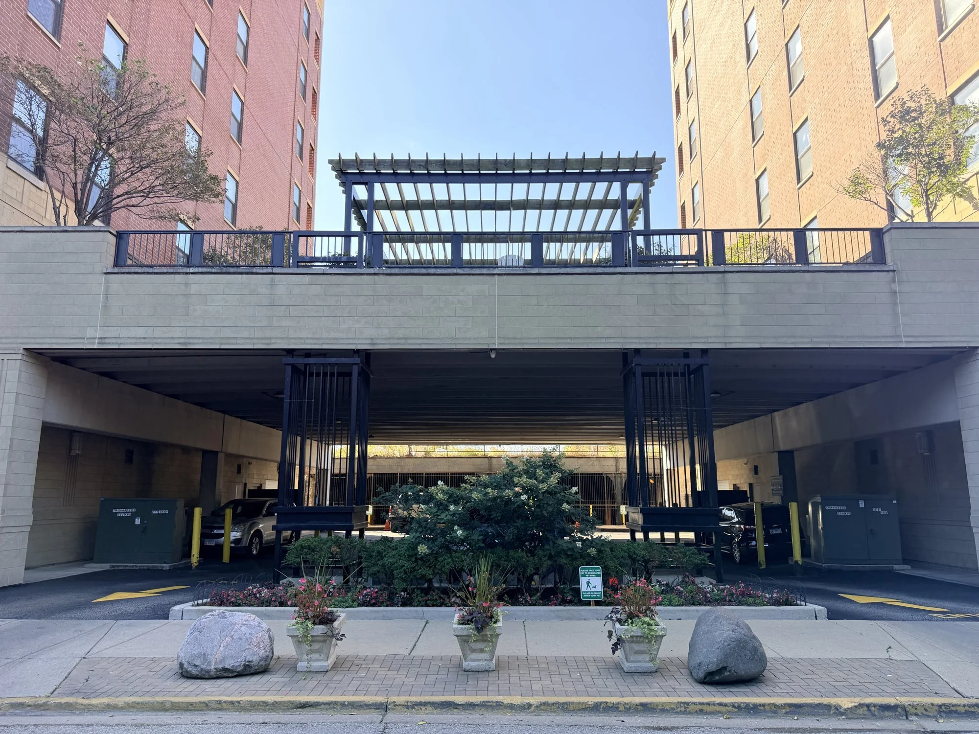
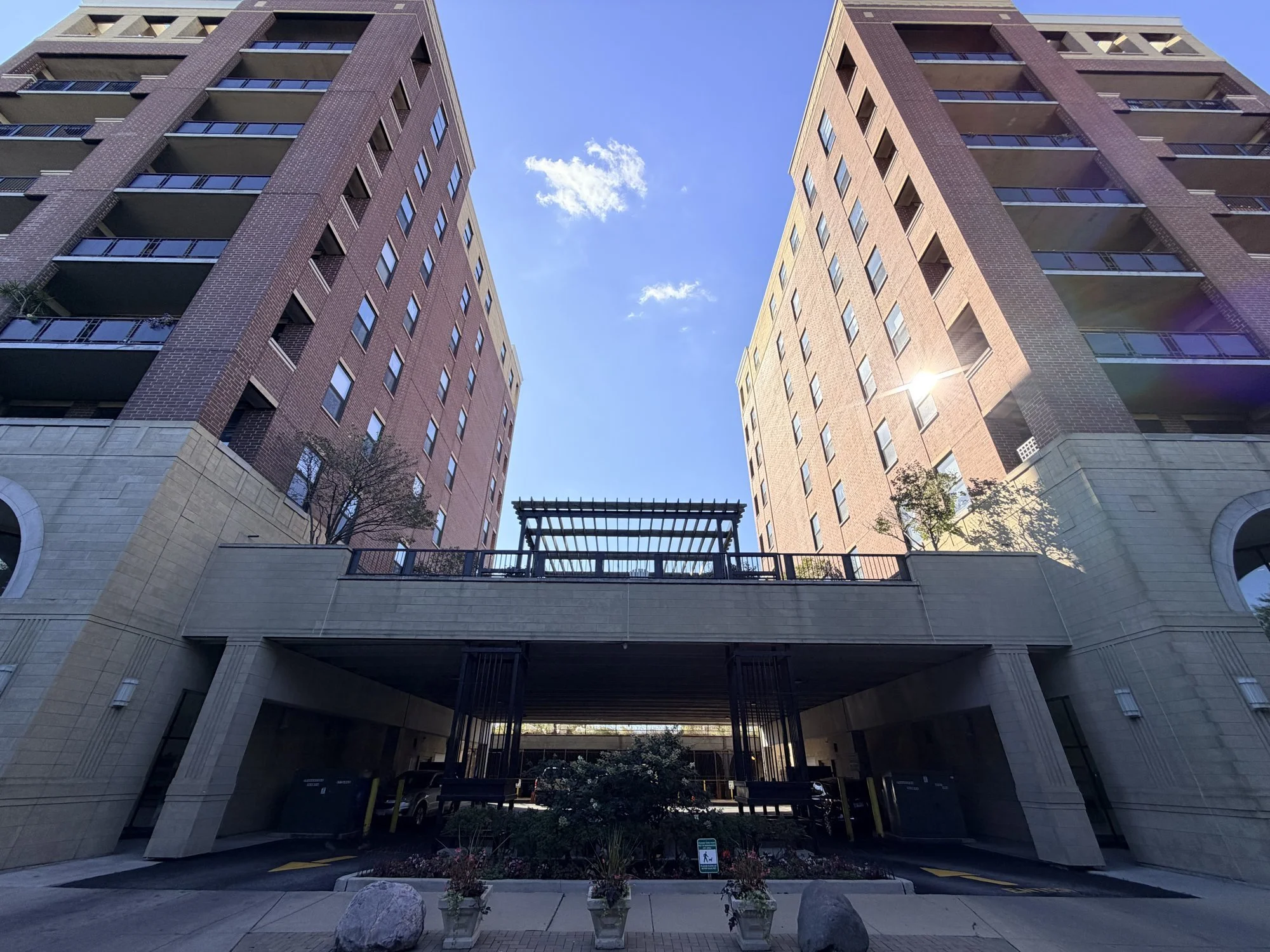
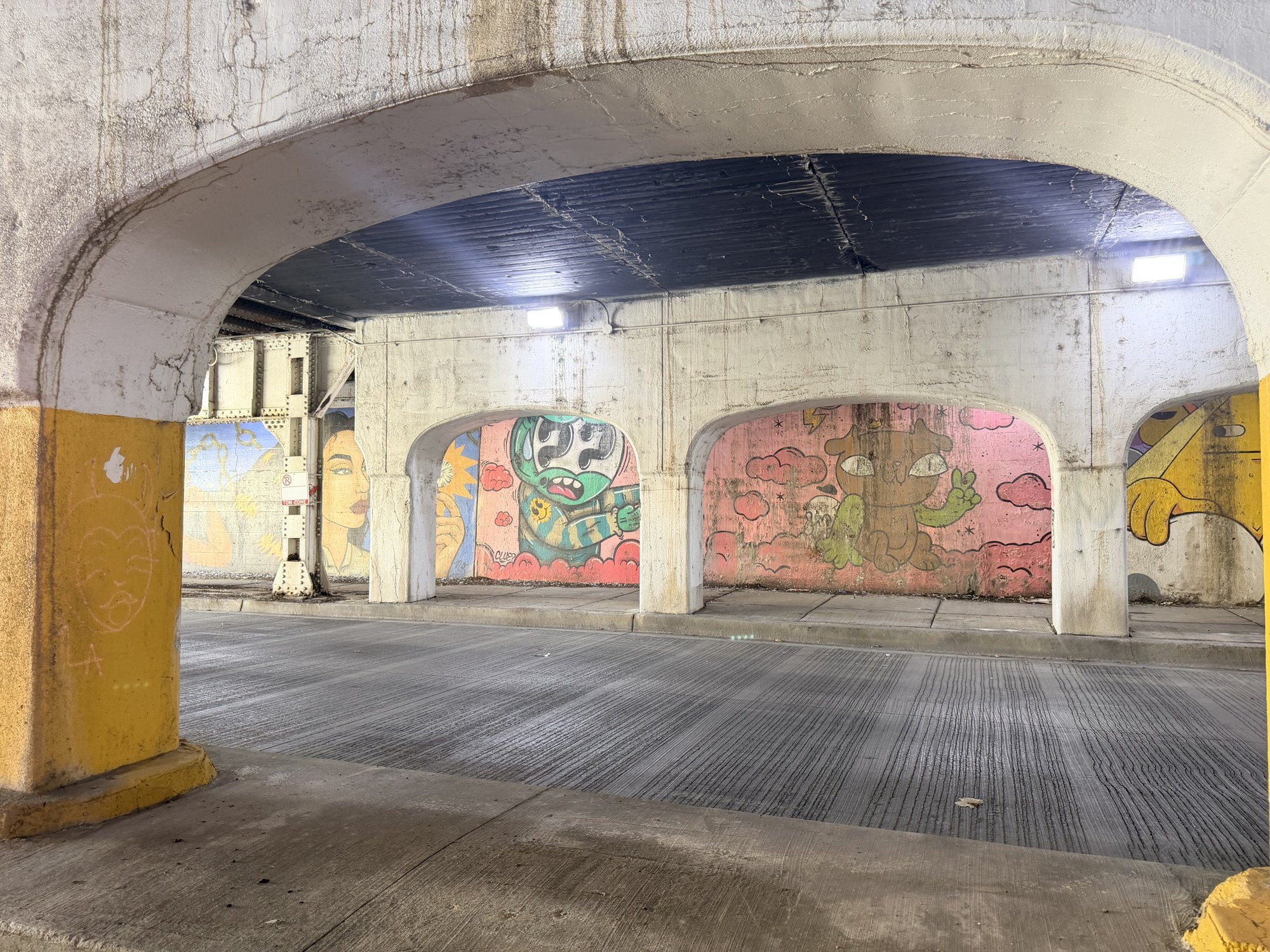
Along the route
Eleven communities and a forest preserve.
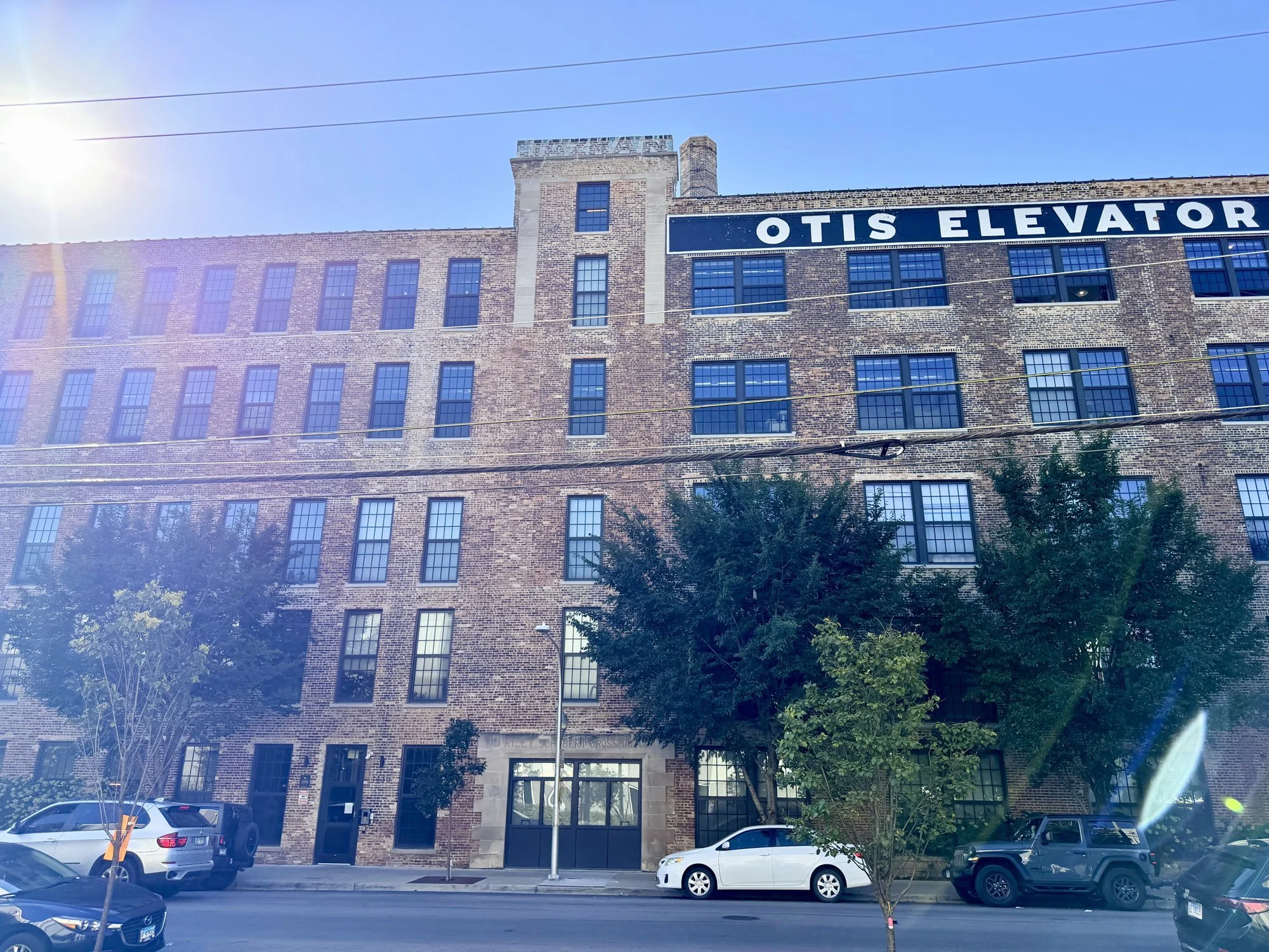
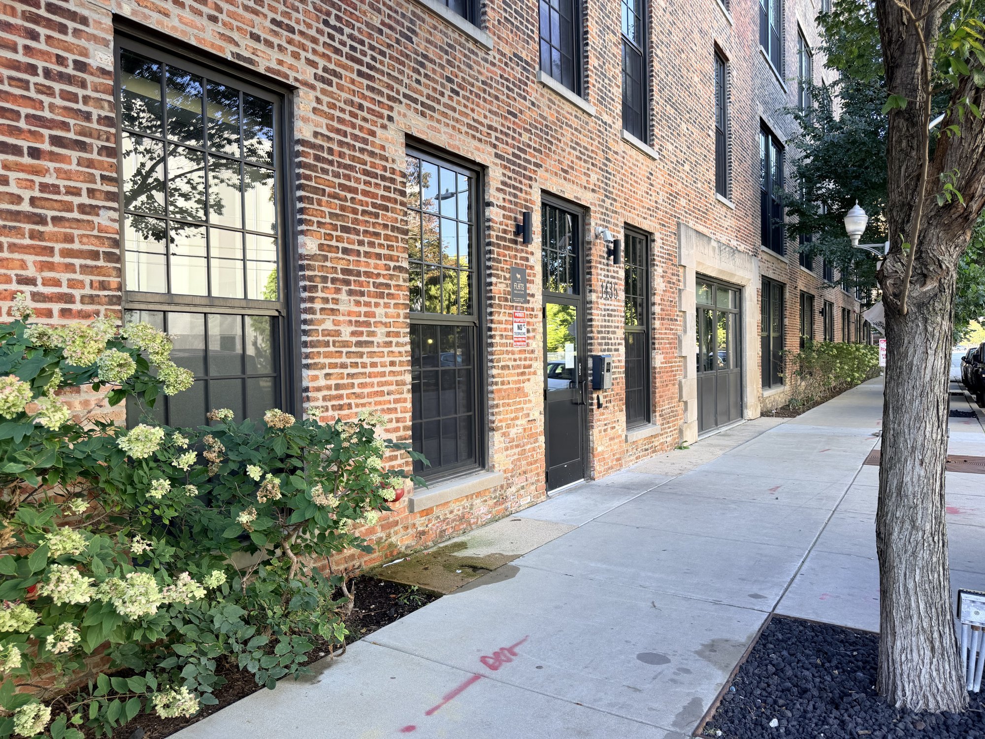
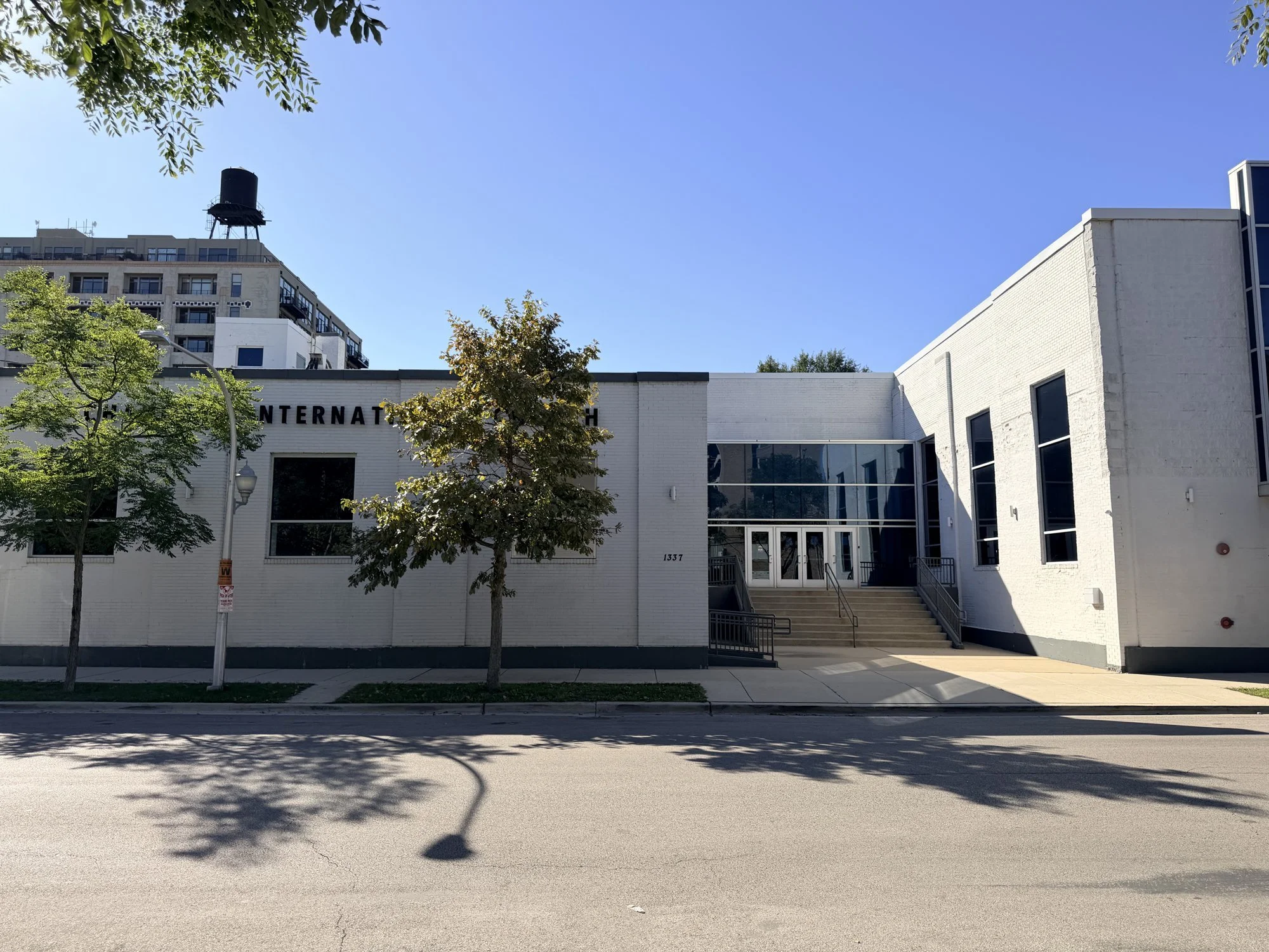
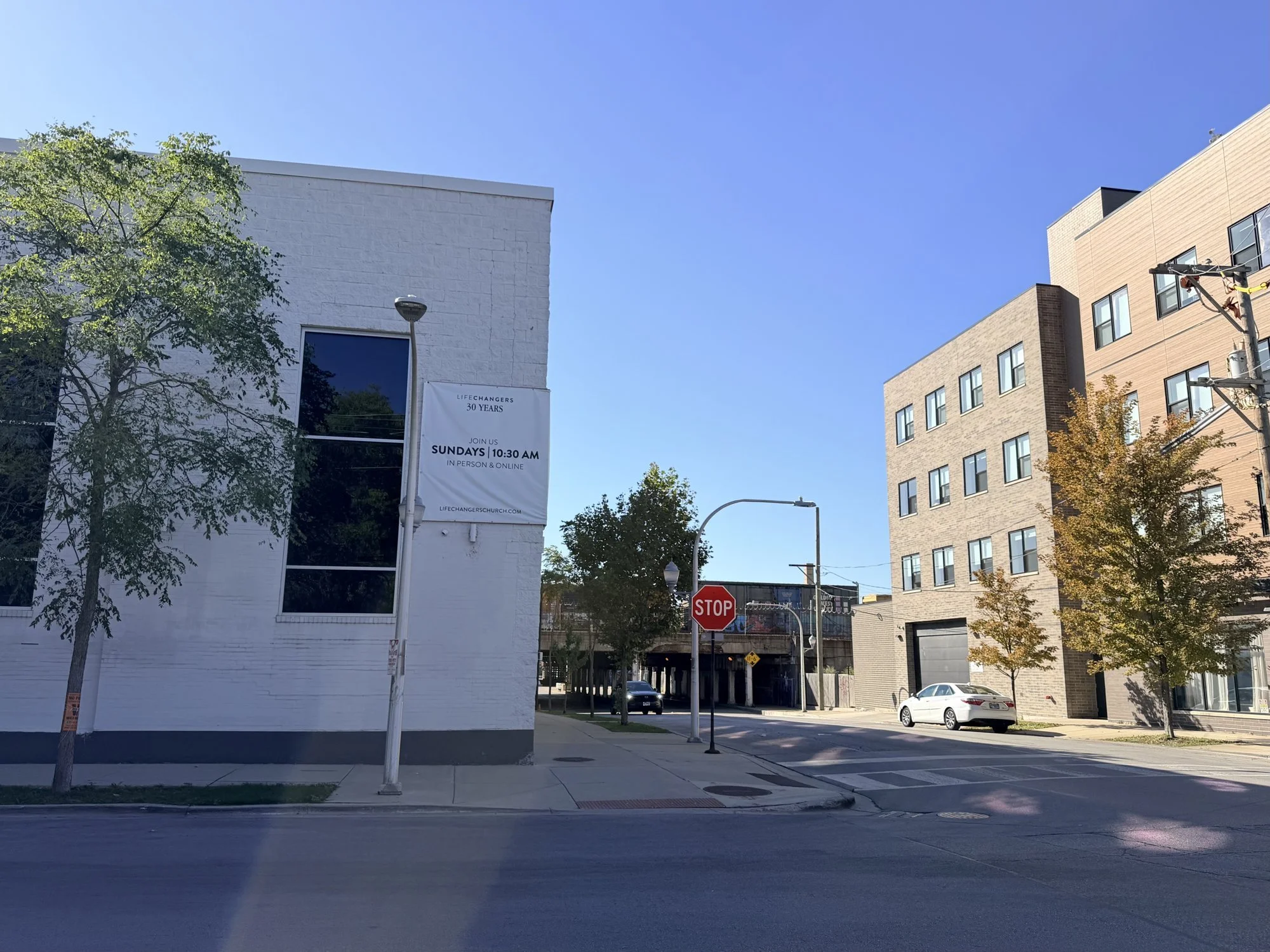
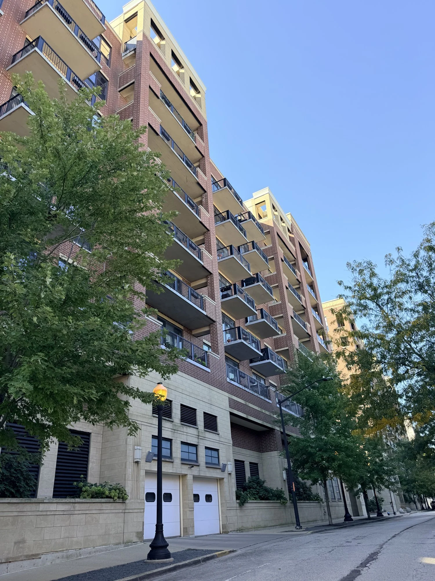
The proposed O’Hare Flyer route runs about 18 miles, from O’Hare to downtown. These are some of the homes, schools, parks and businesses along it.
Select a community on the map to see its photos.Swipe the map sideways to see all of it. Tap a community to see its photos.
Or jump to a community
Along the route
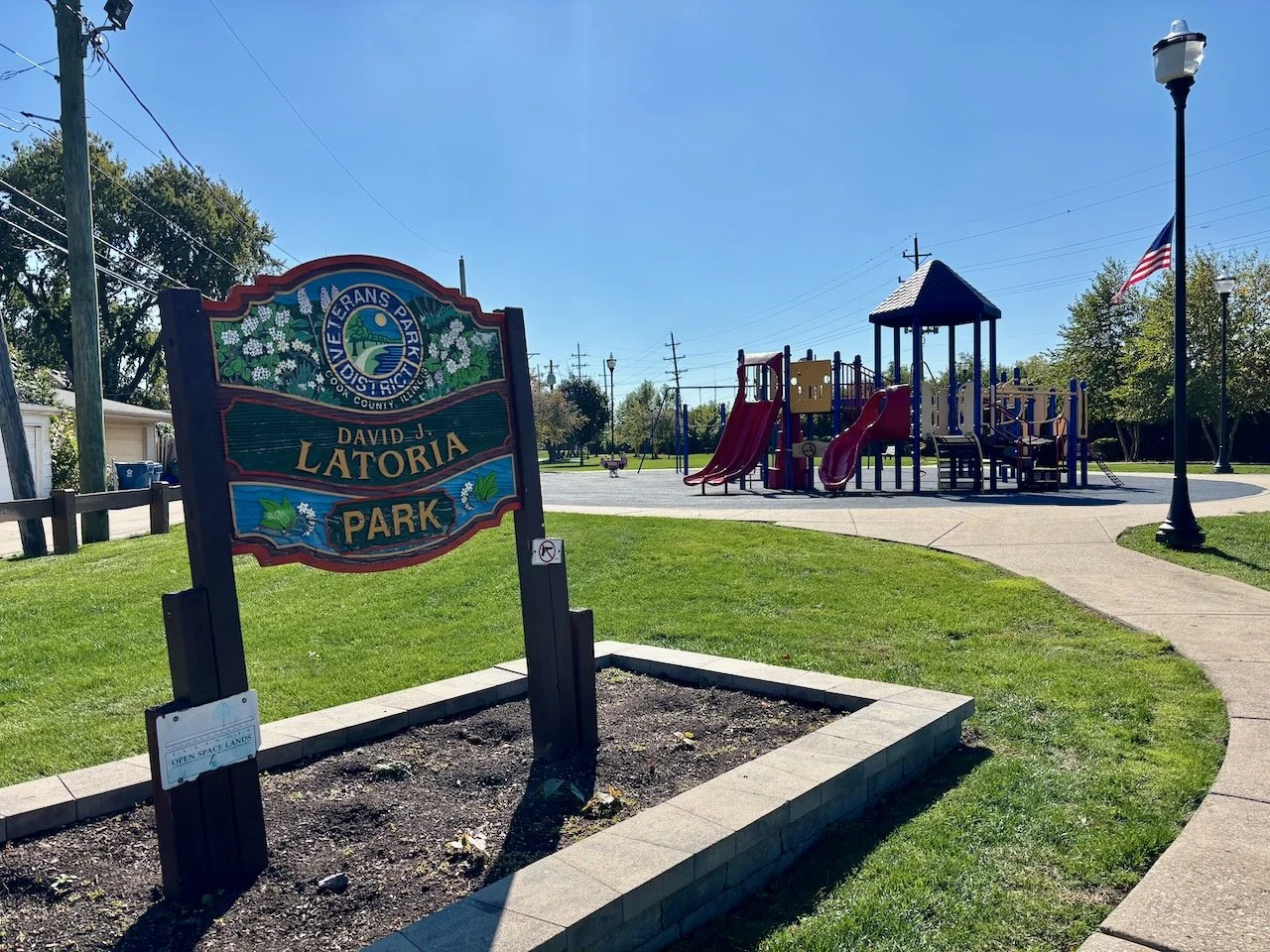
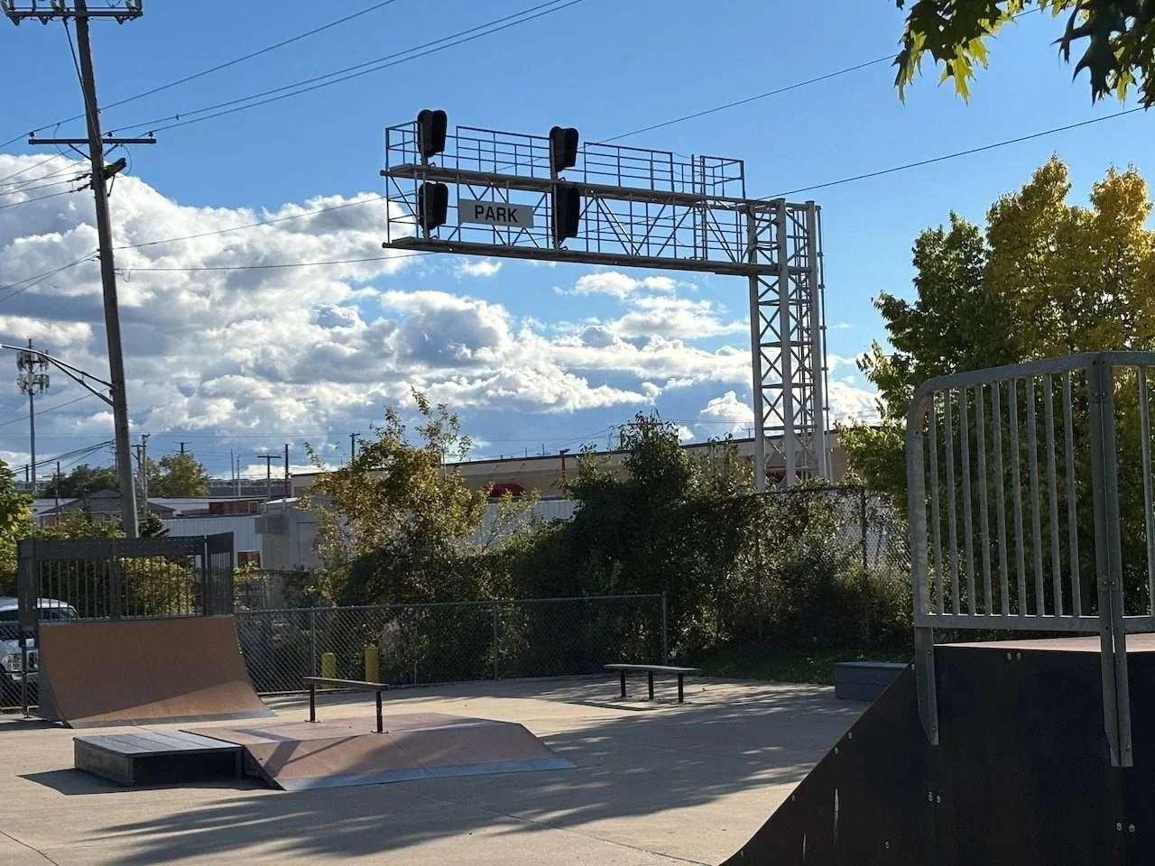
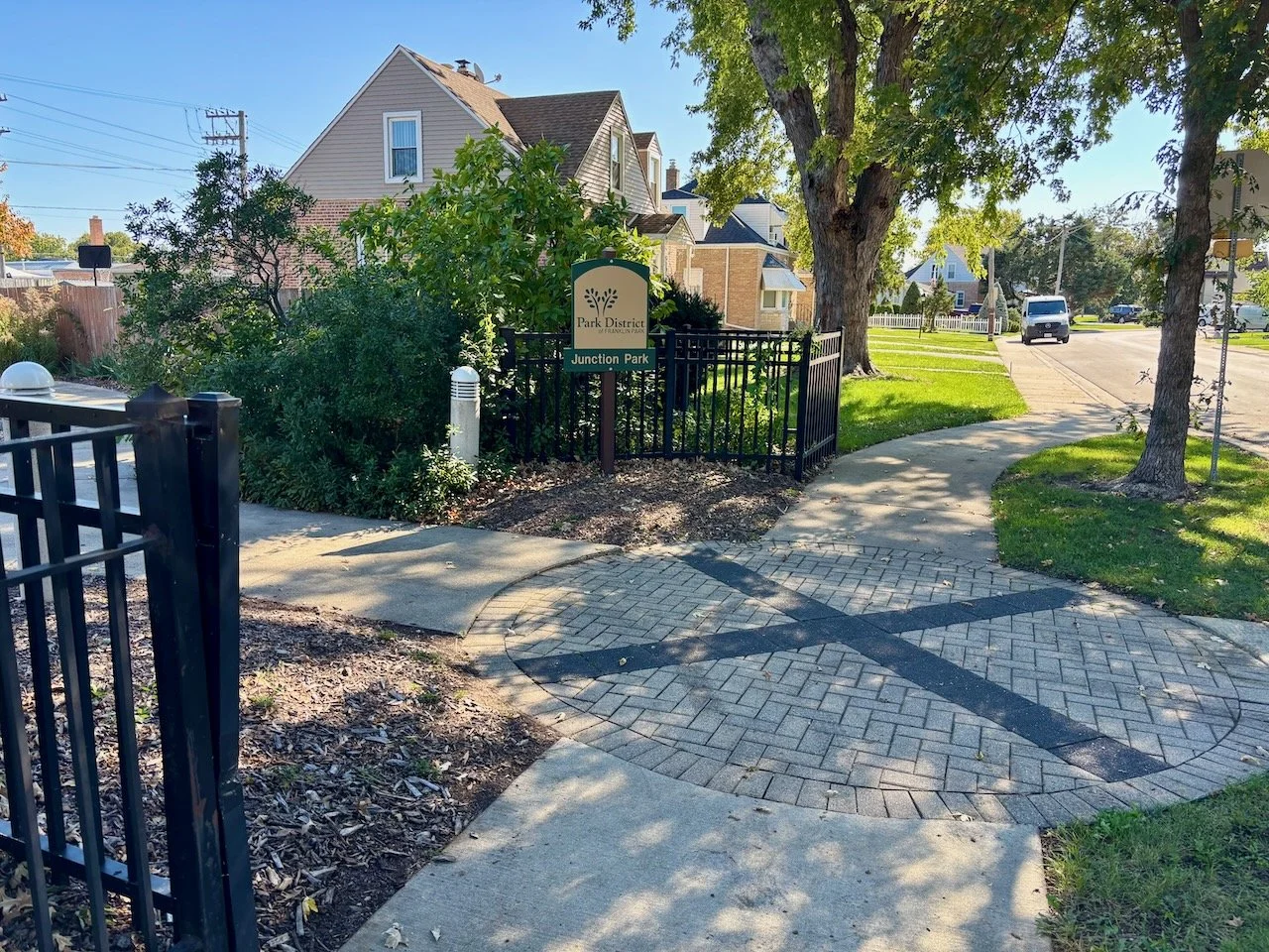
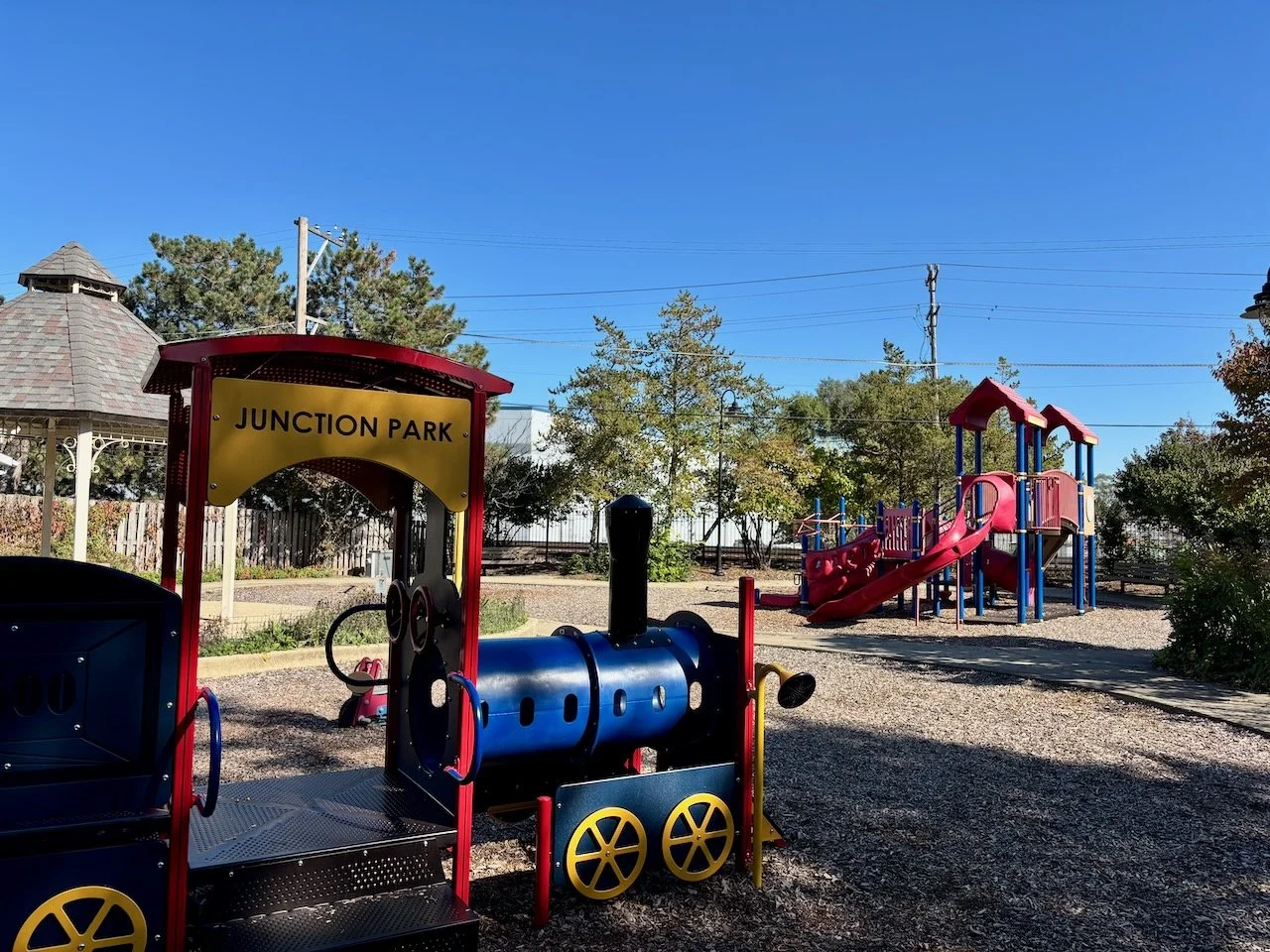
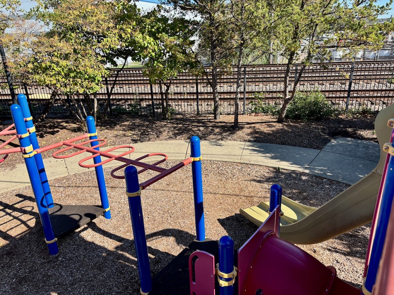
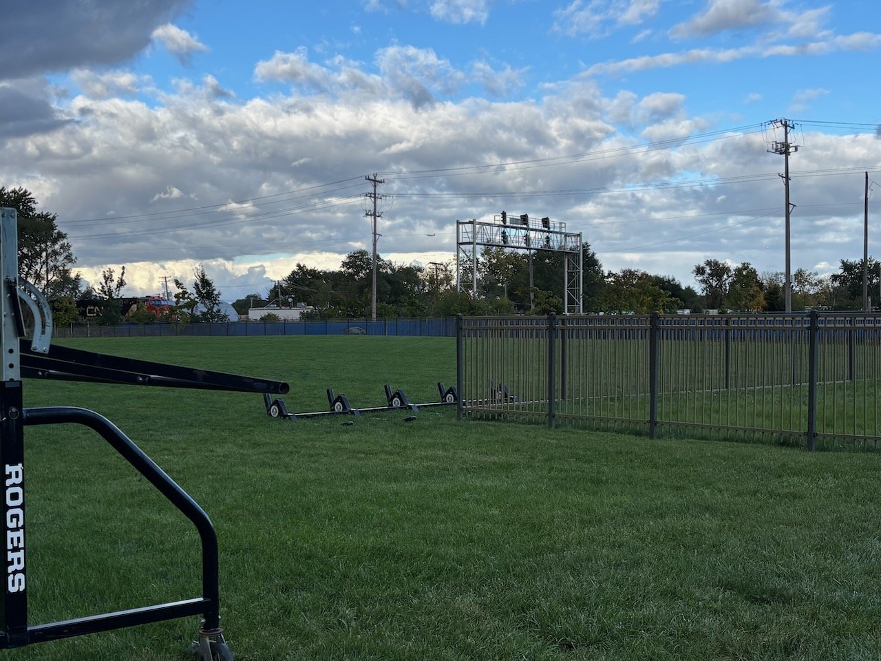
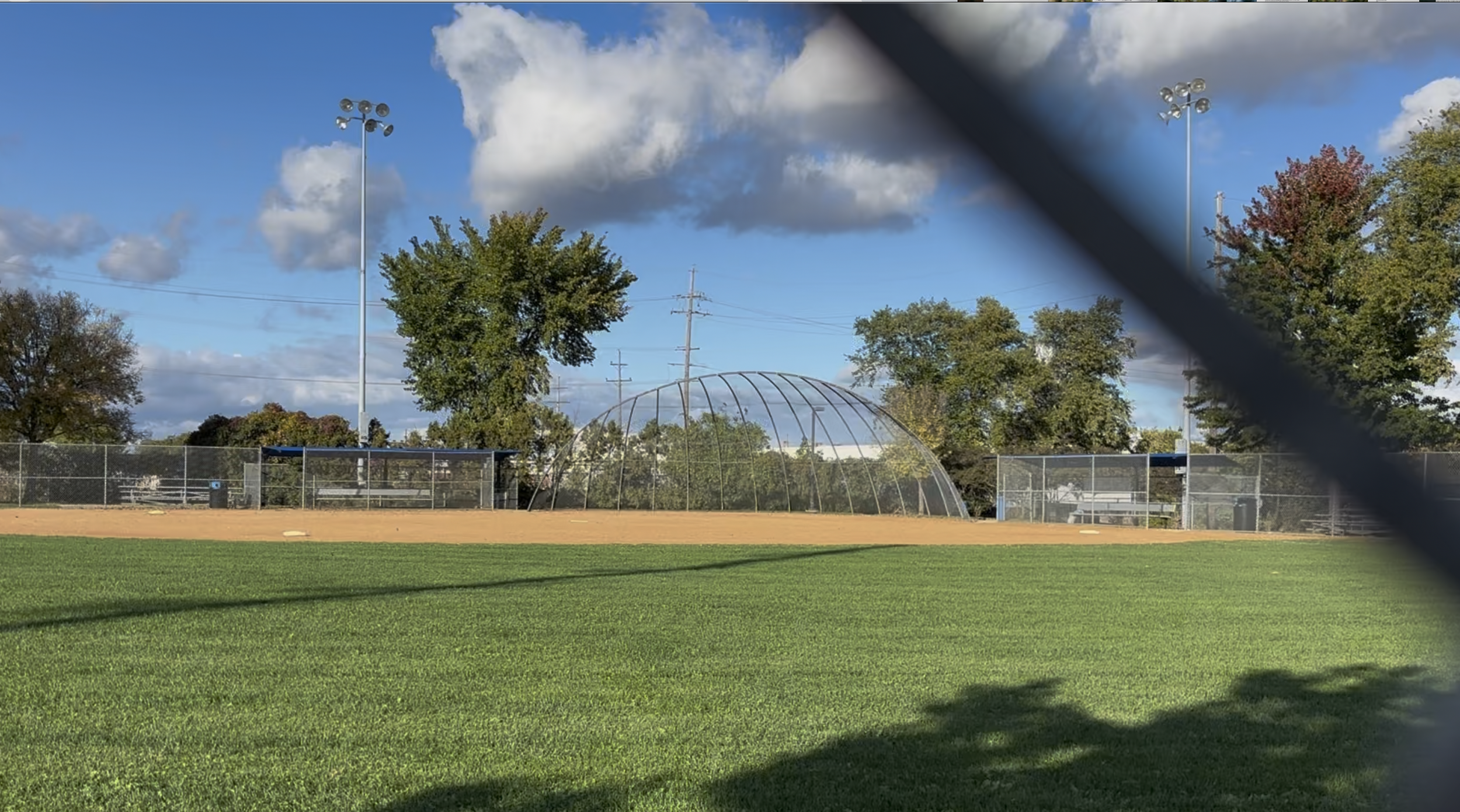
Franklin Park
Residences · Two play lots · Baseball diamonds · Belmont and Fullerton crossings

Along the route
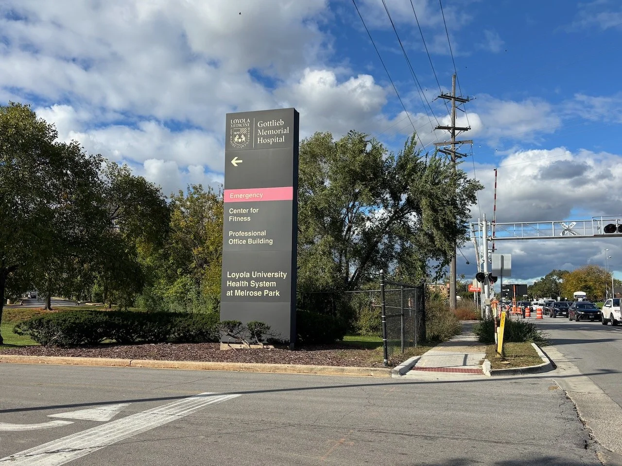
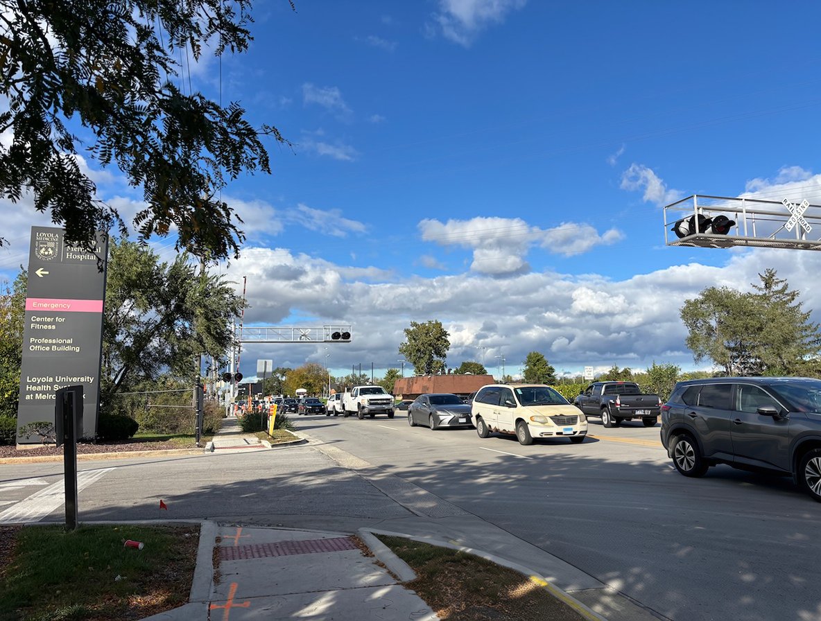
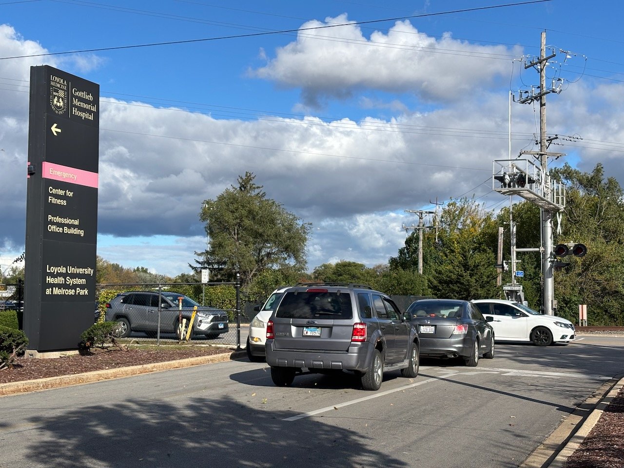
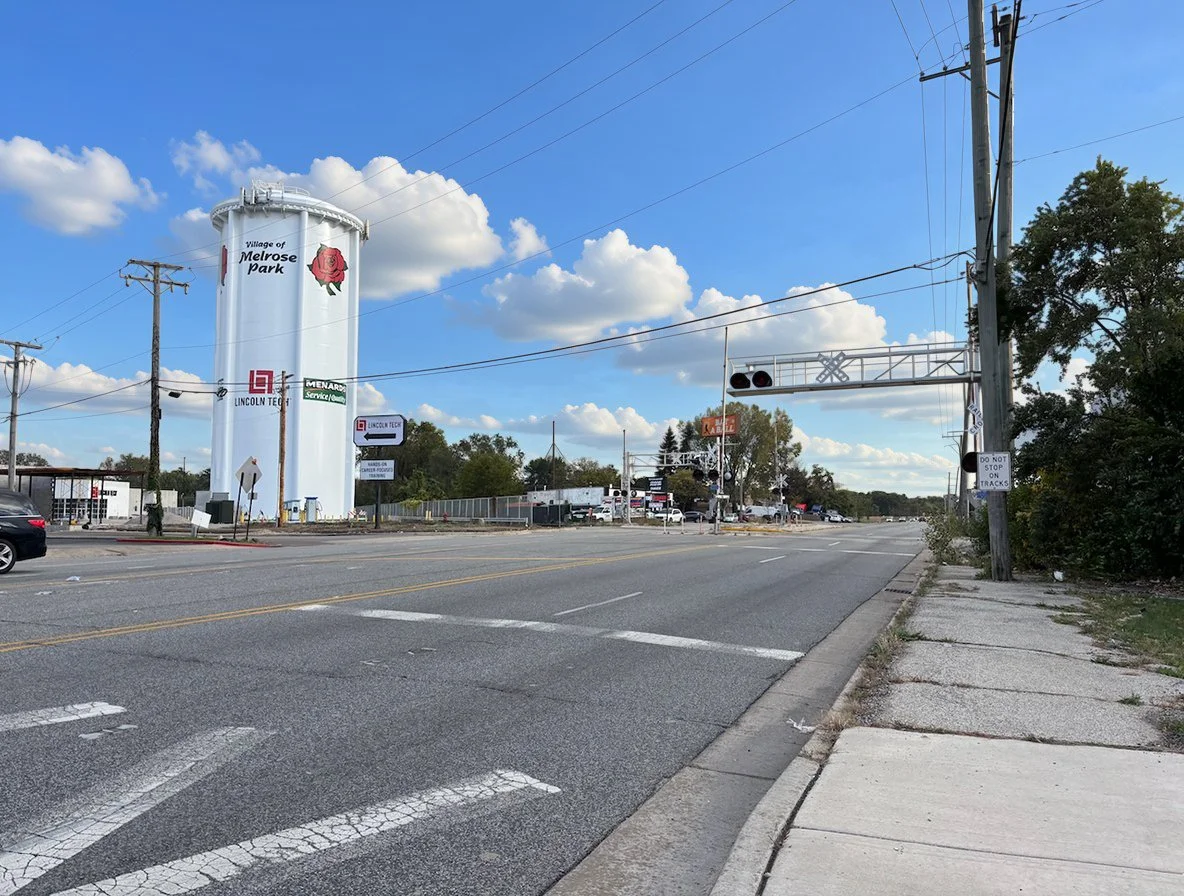
Melrose Park
Hospital campus · Costco · A school
Along the route
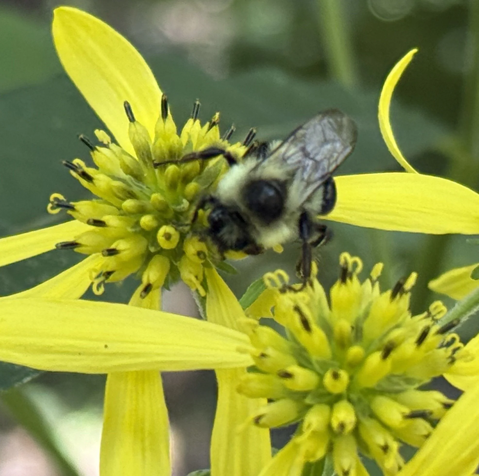
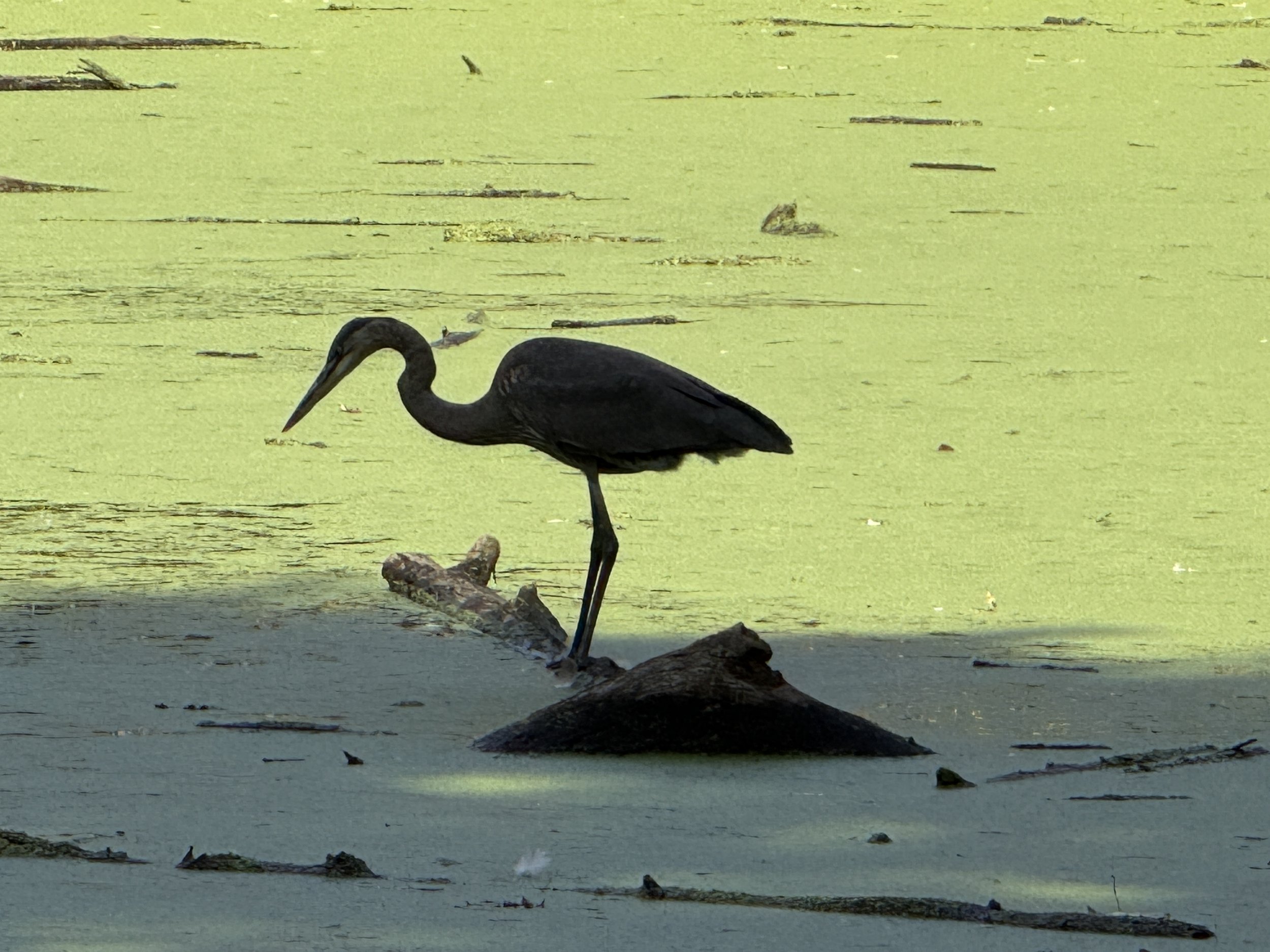
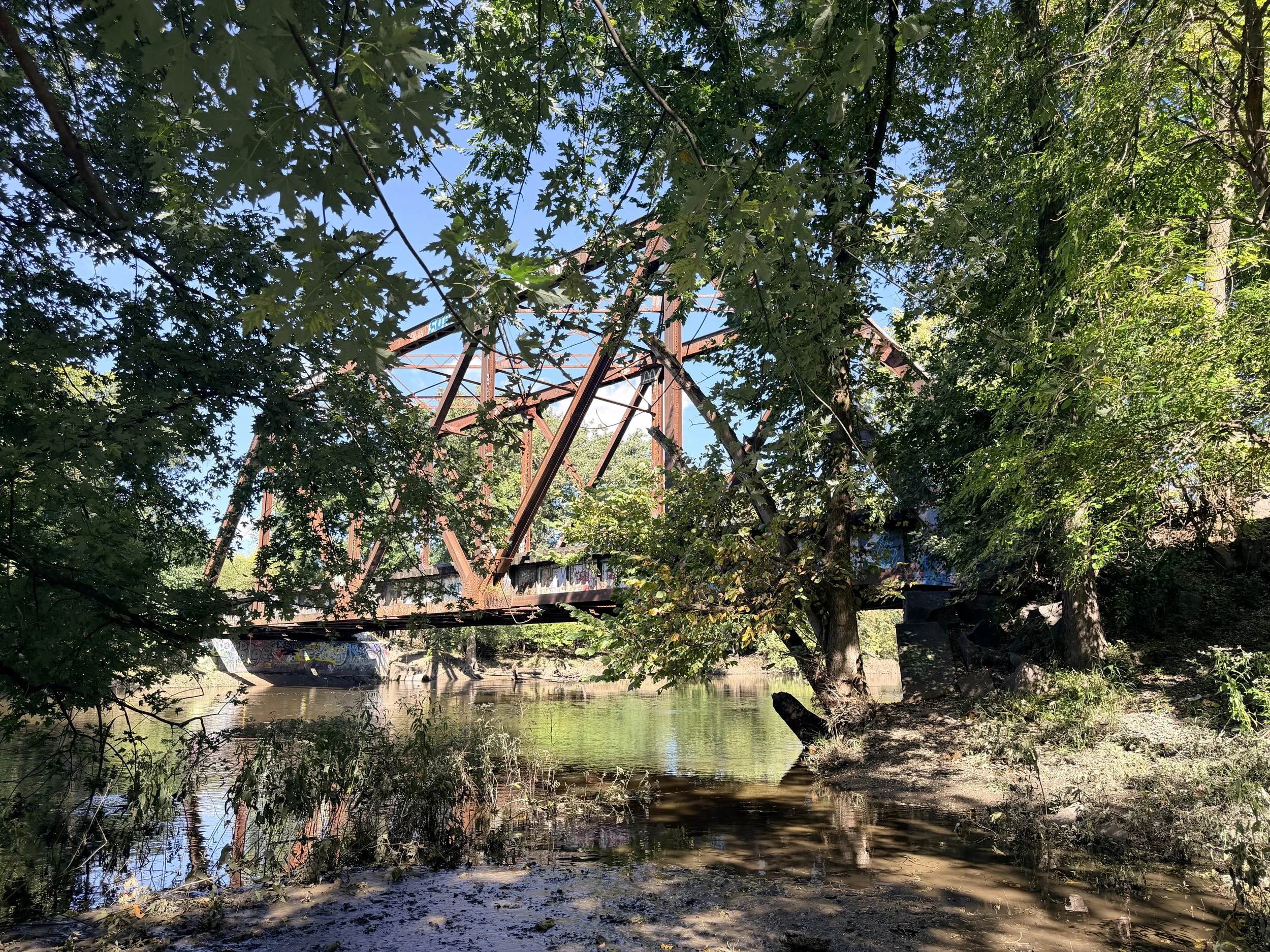
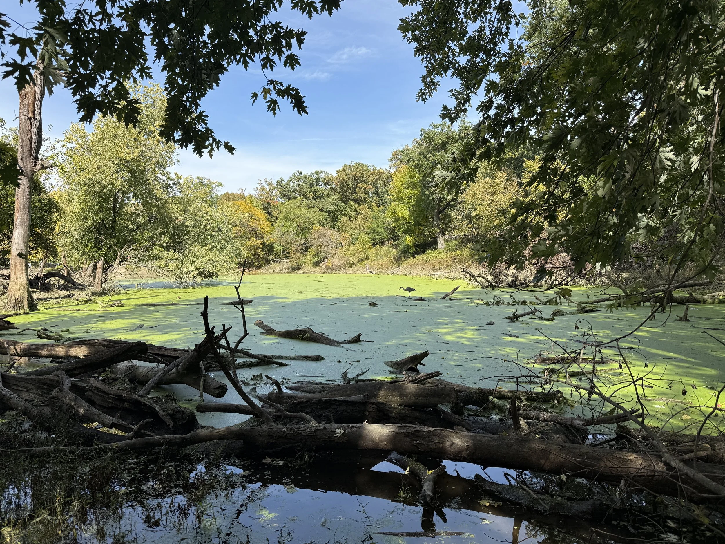
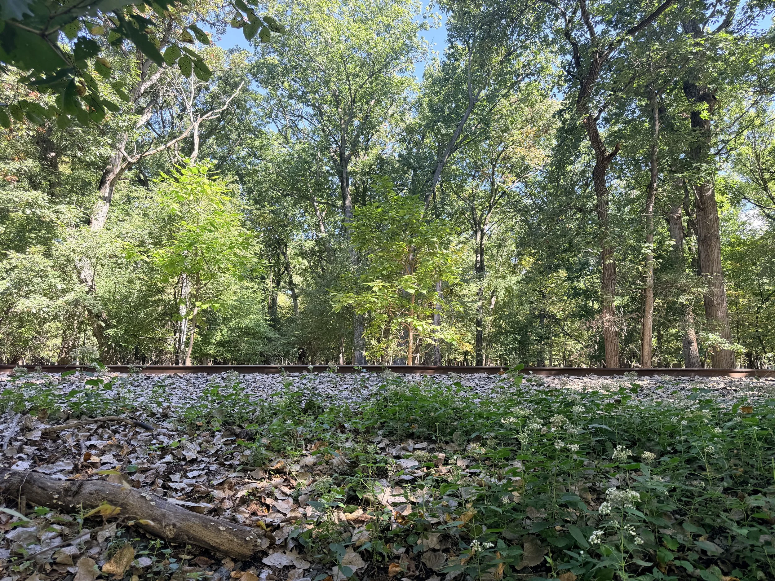
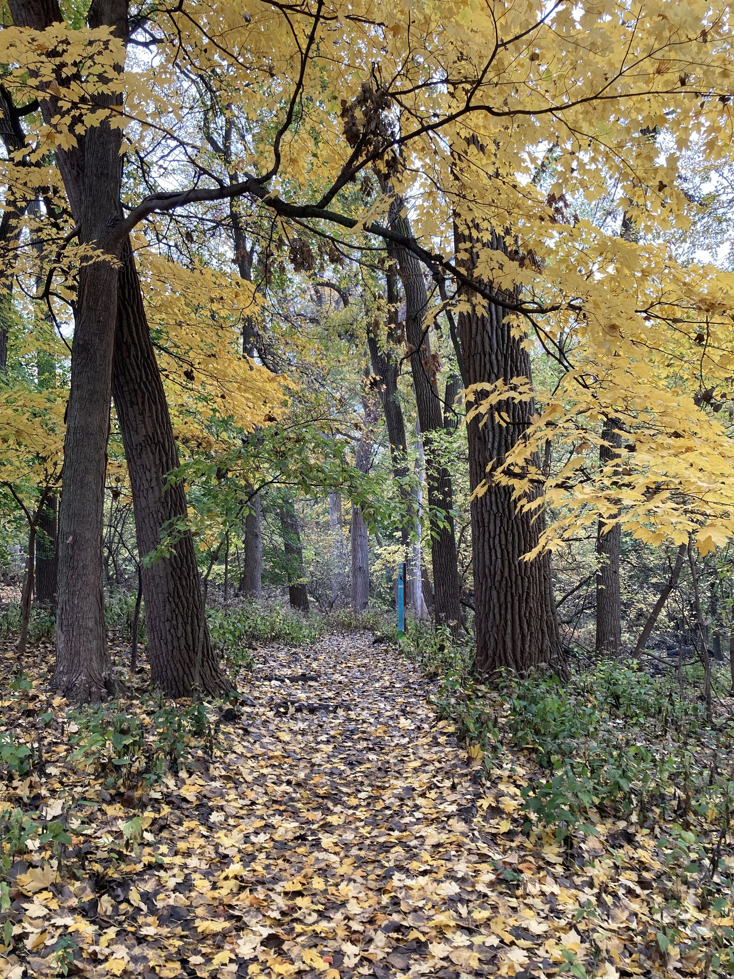
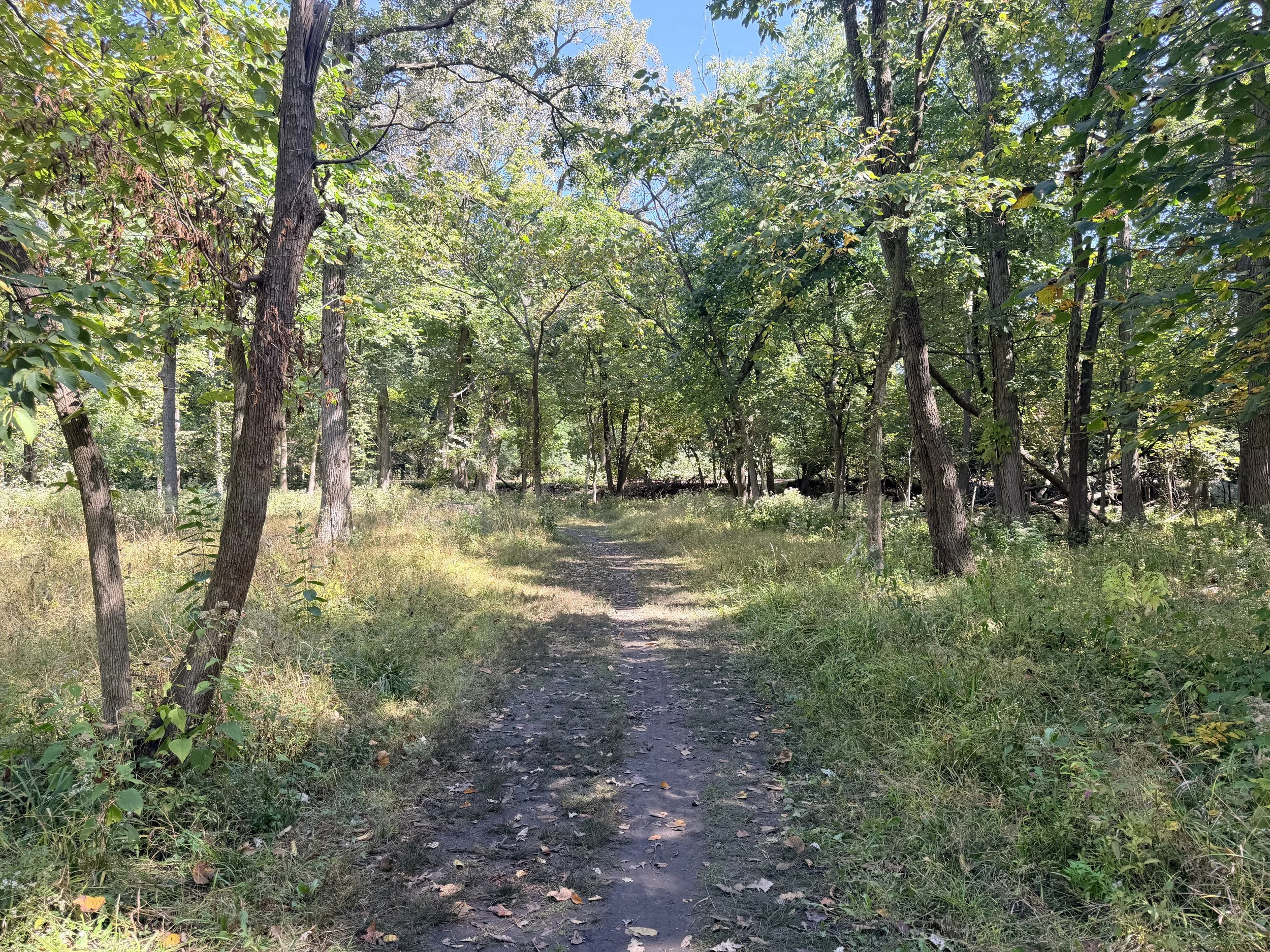
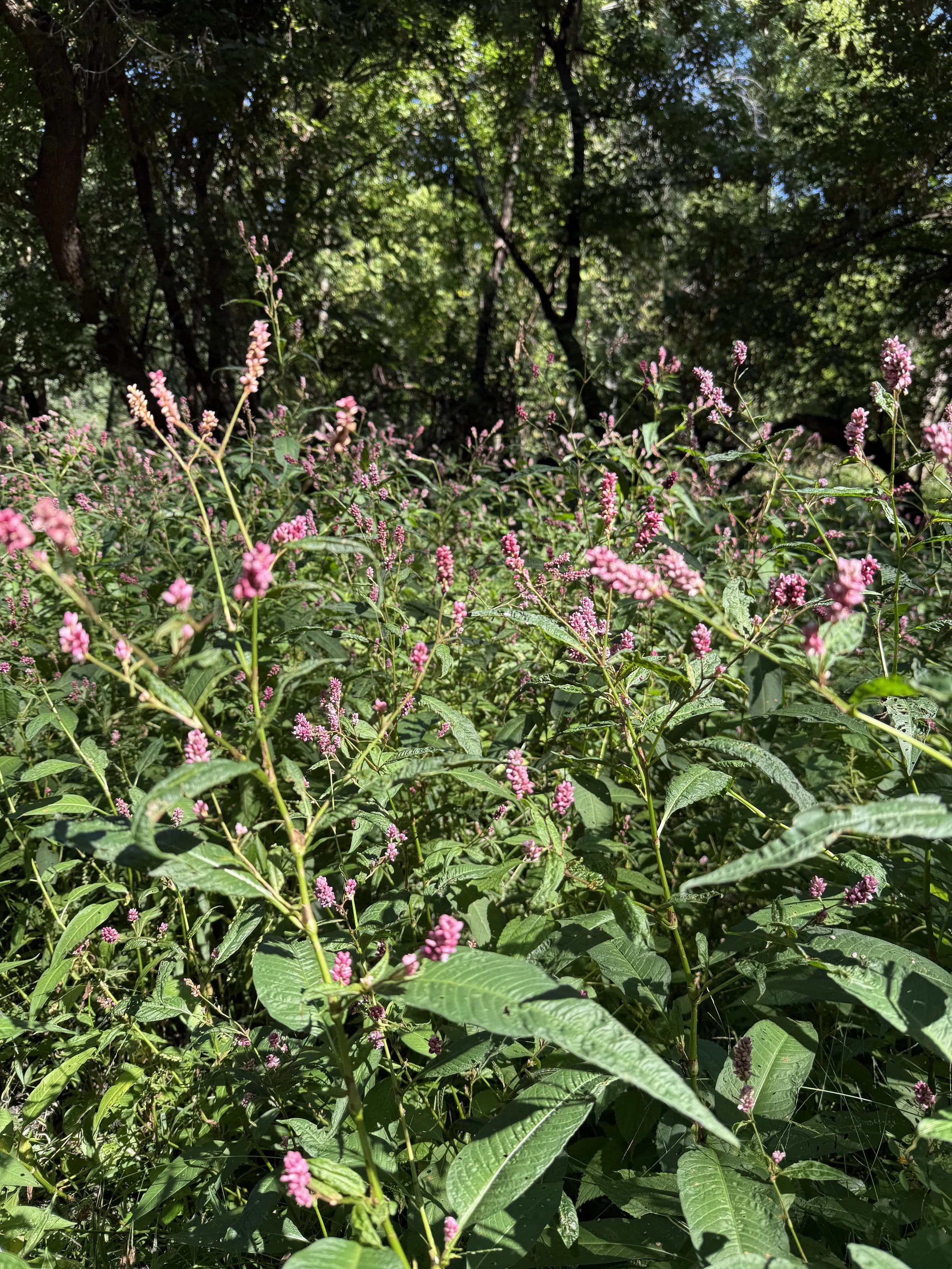
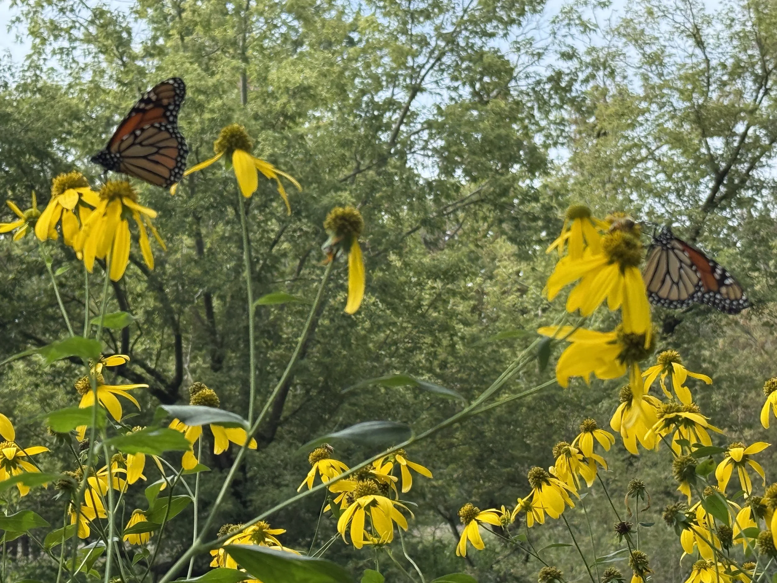
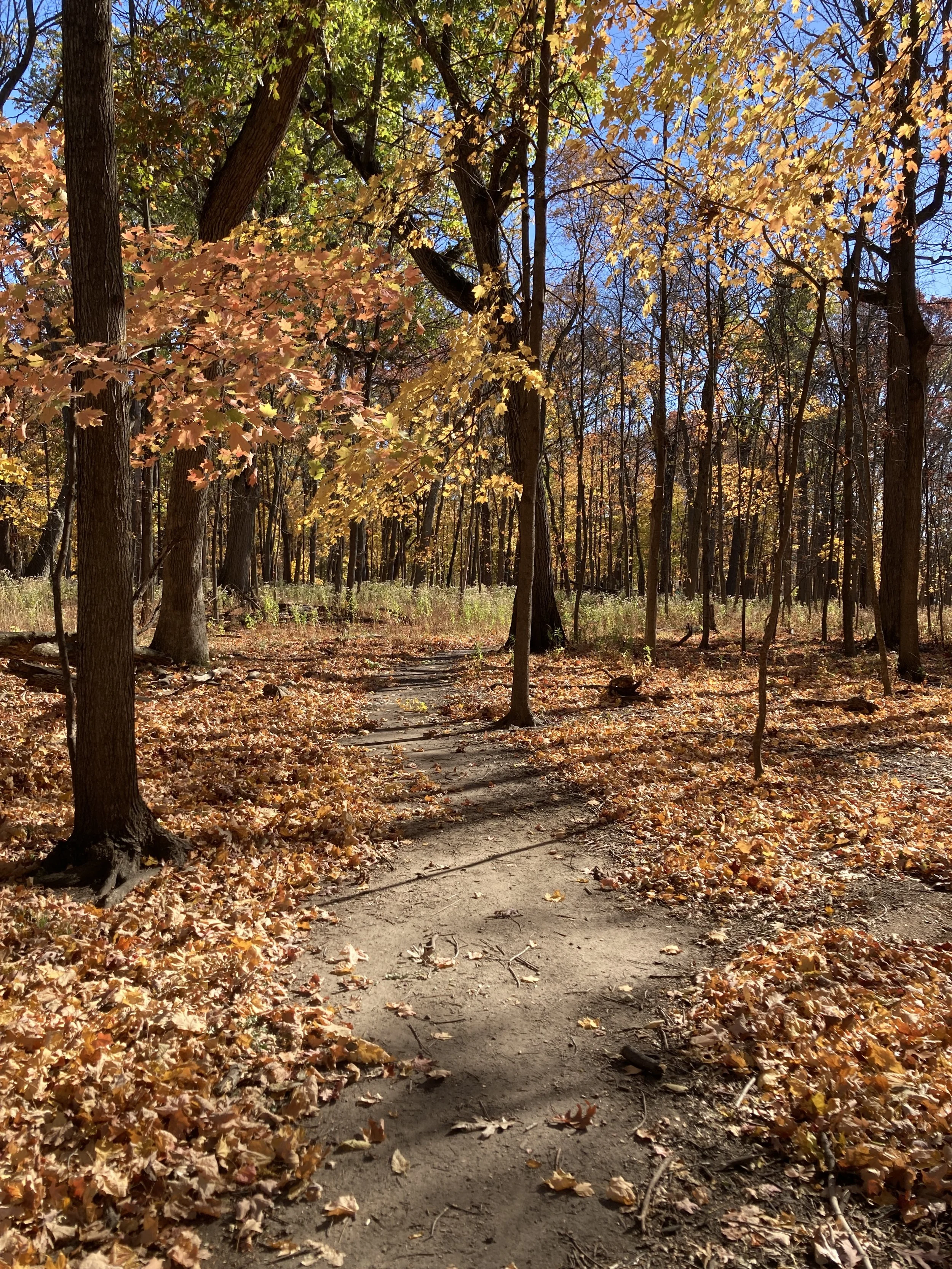
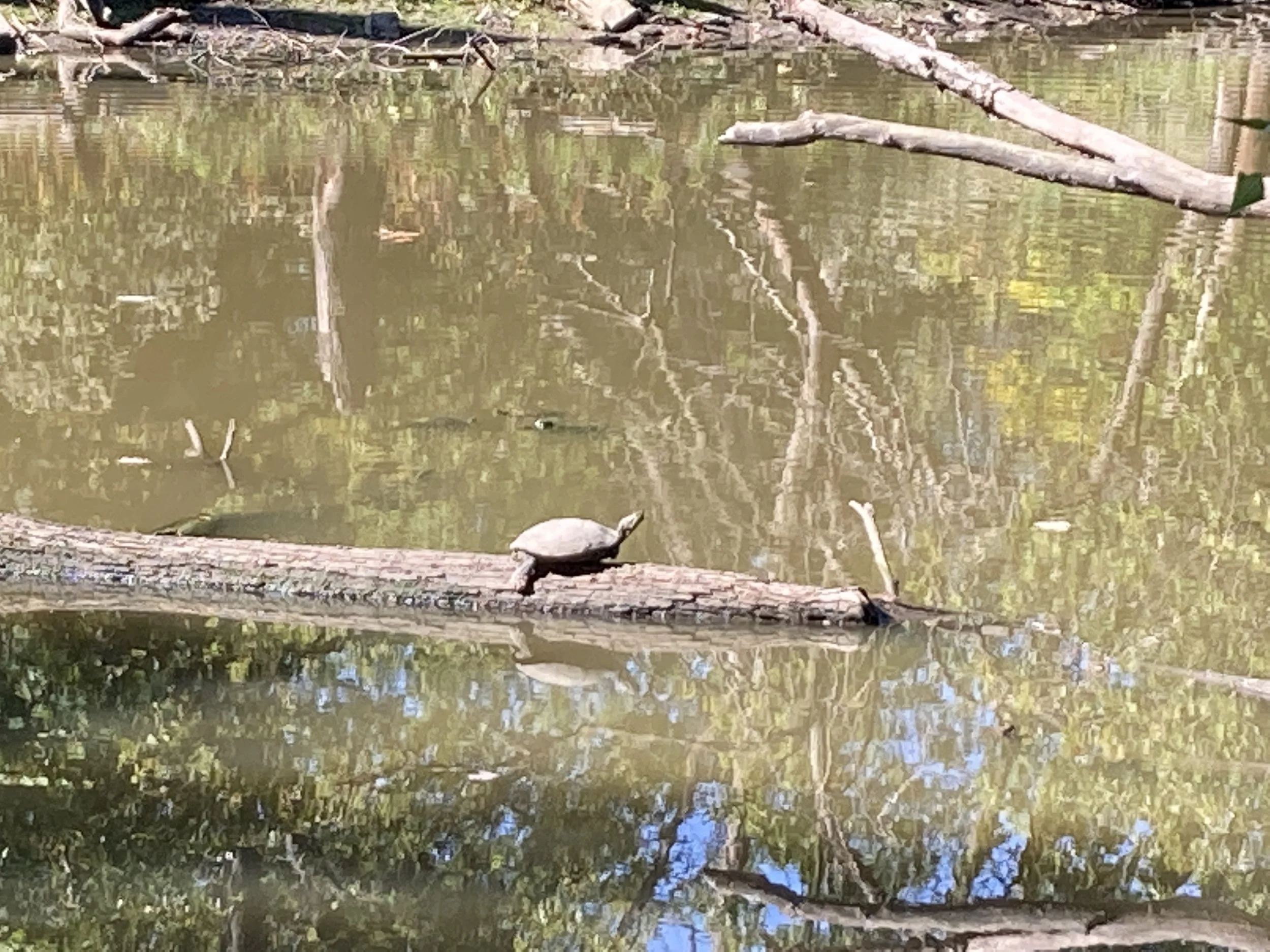
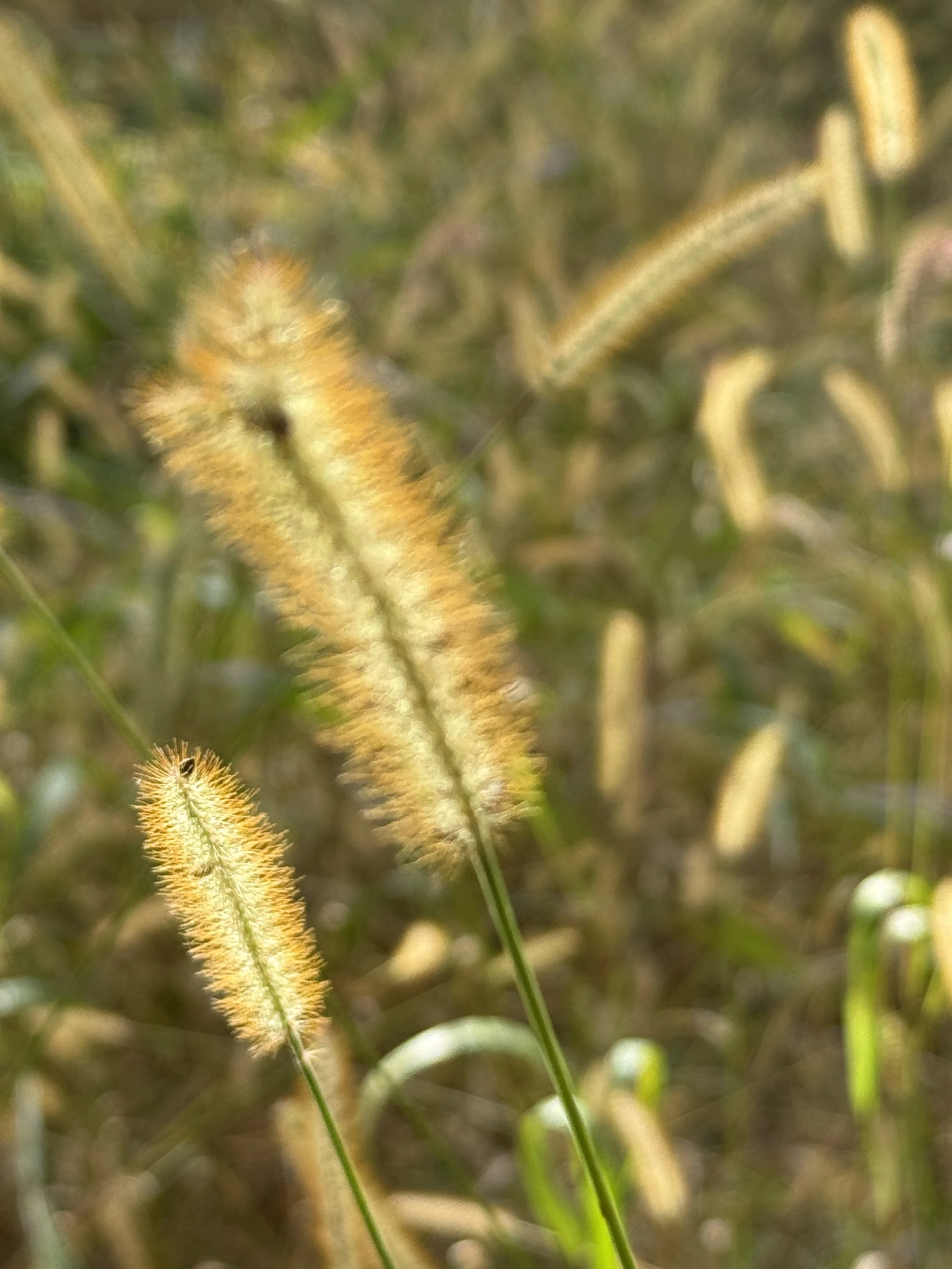
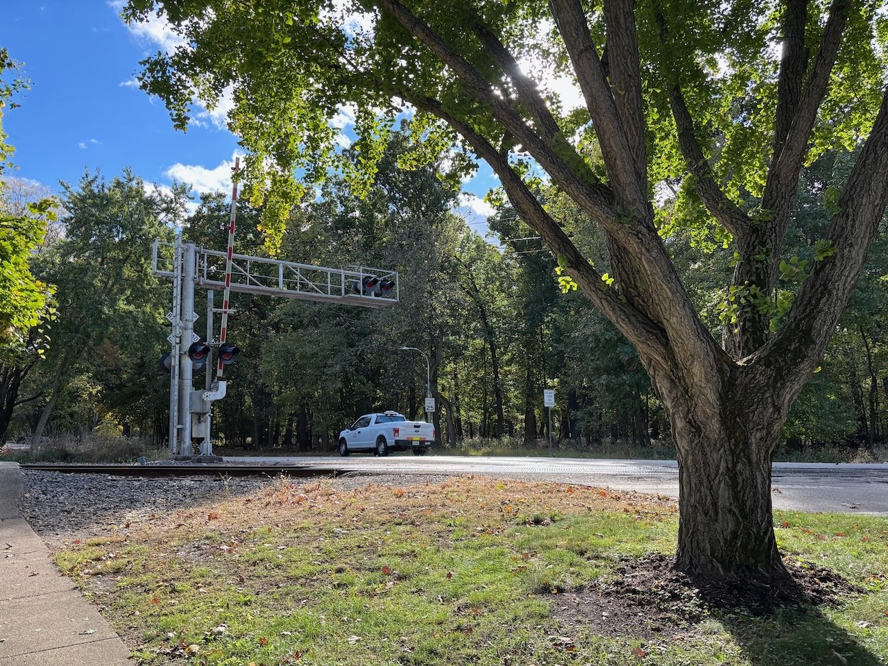
Thatcher Woods
Cook County forest preserve
Along the route
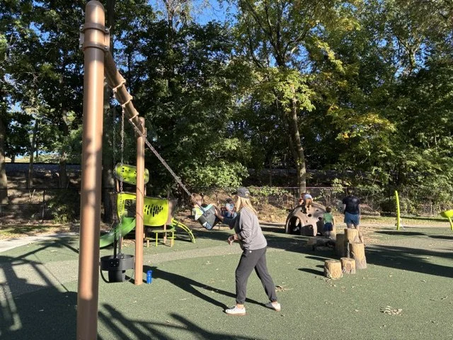
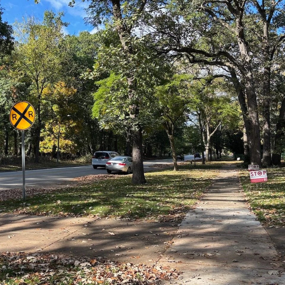
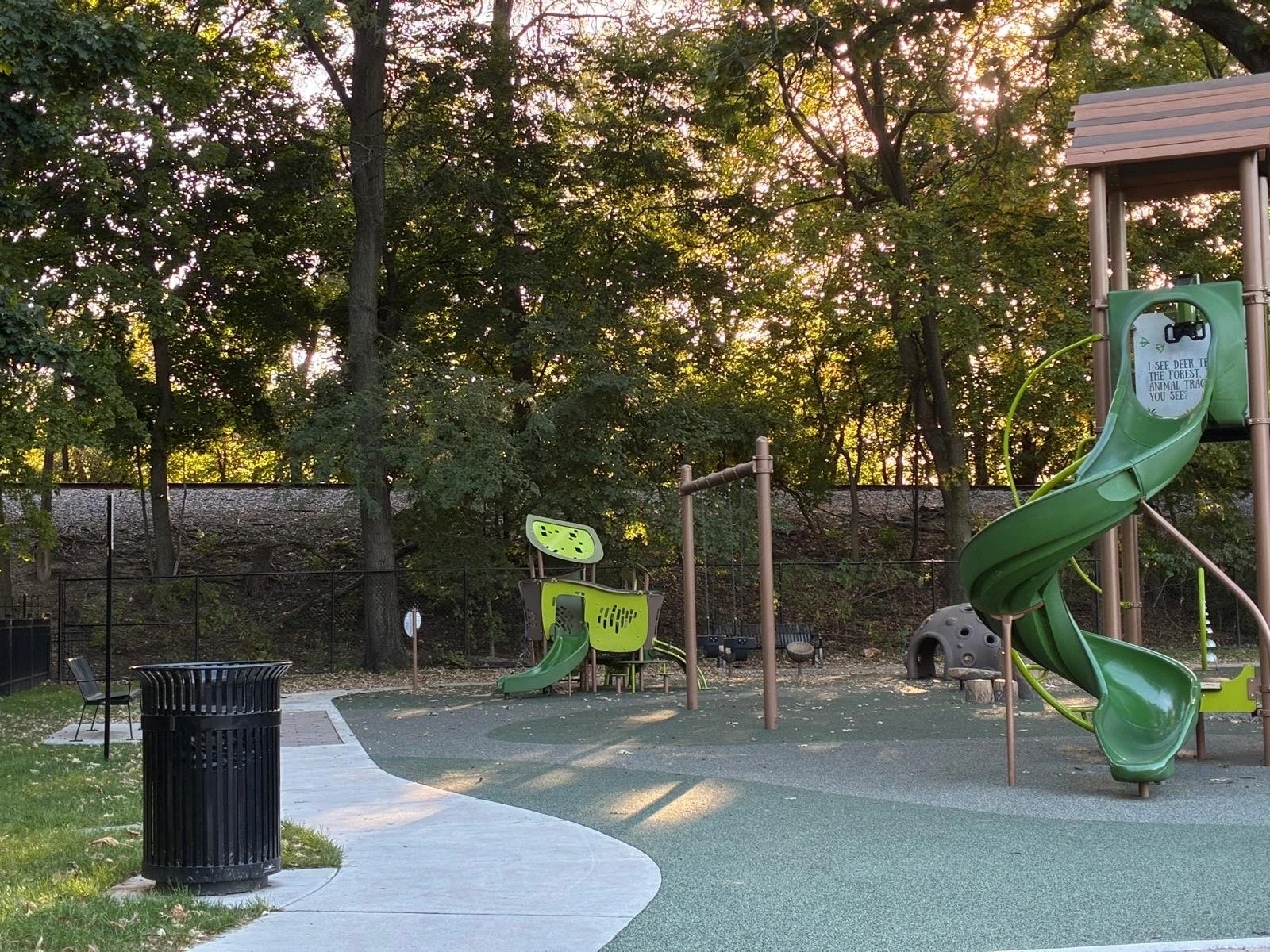
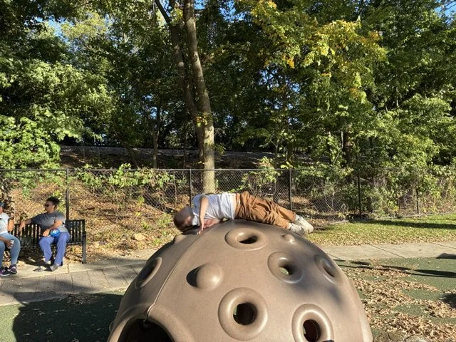
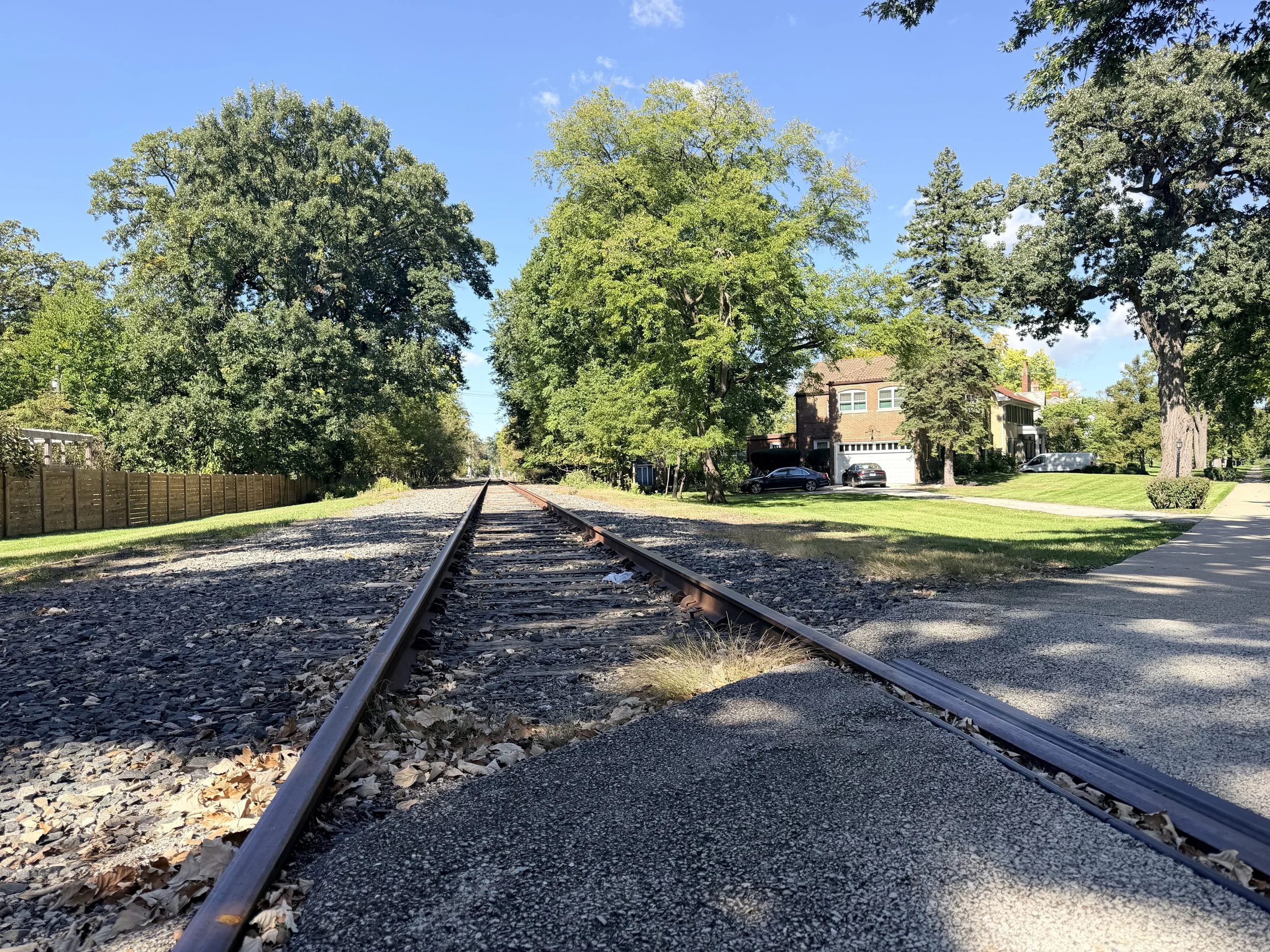
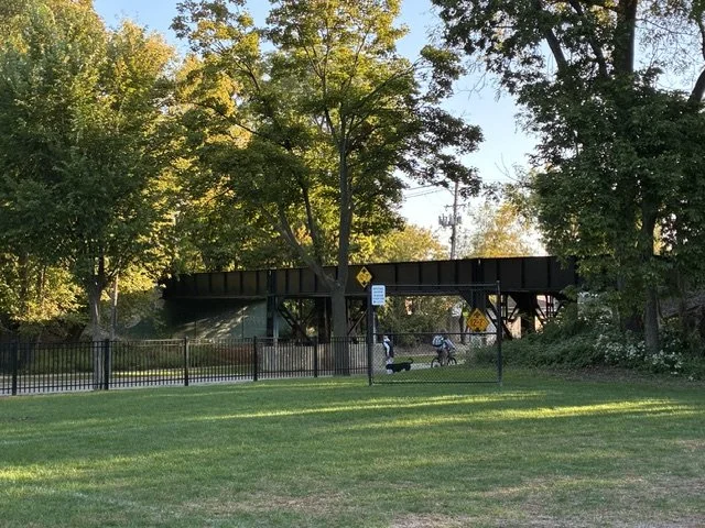
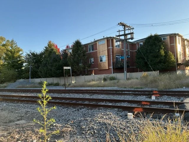
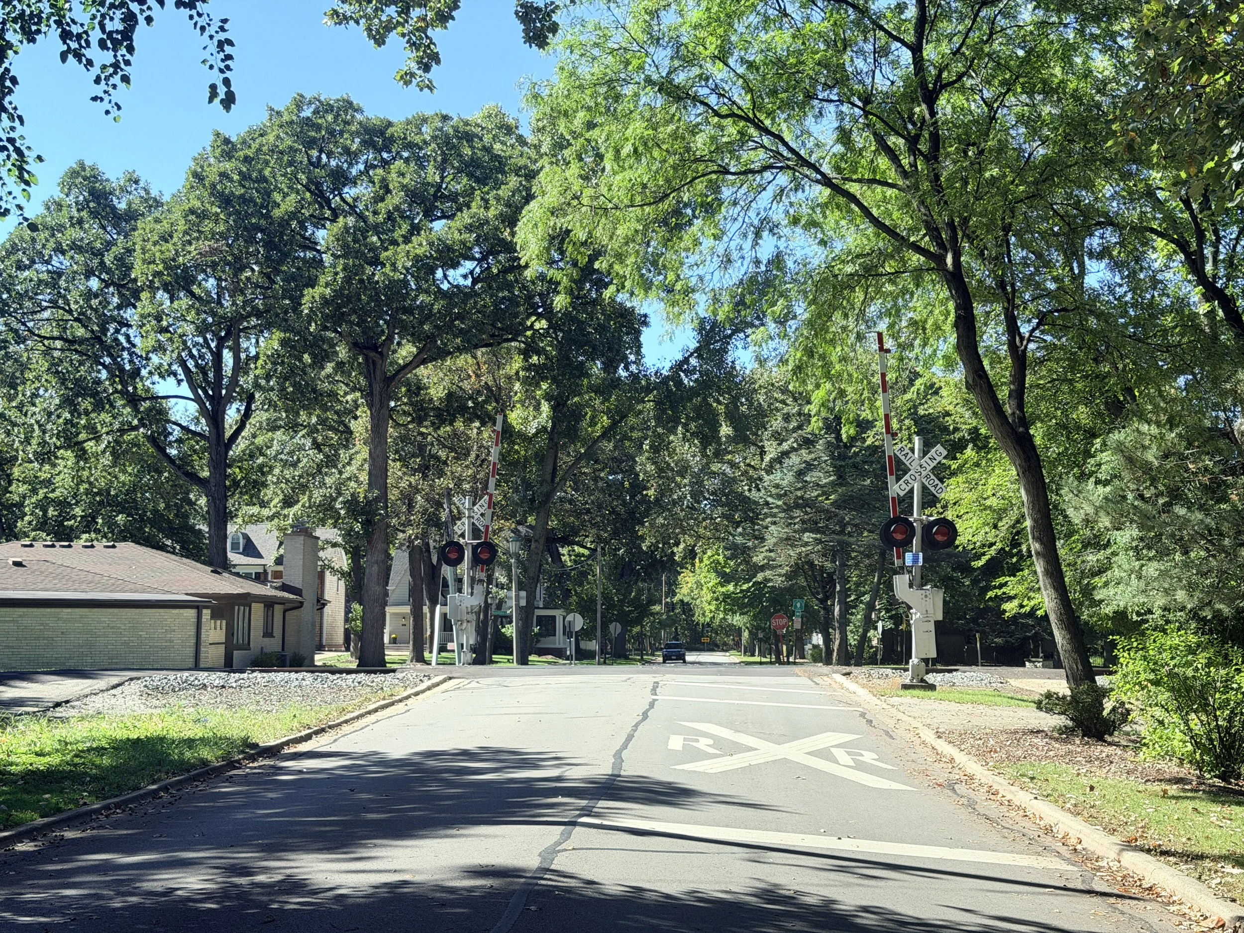
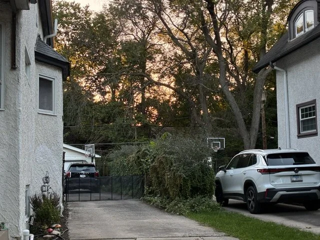
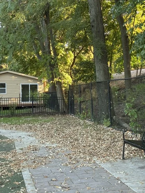
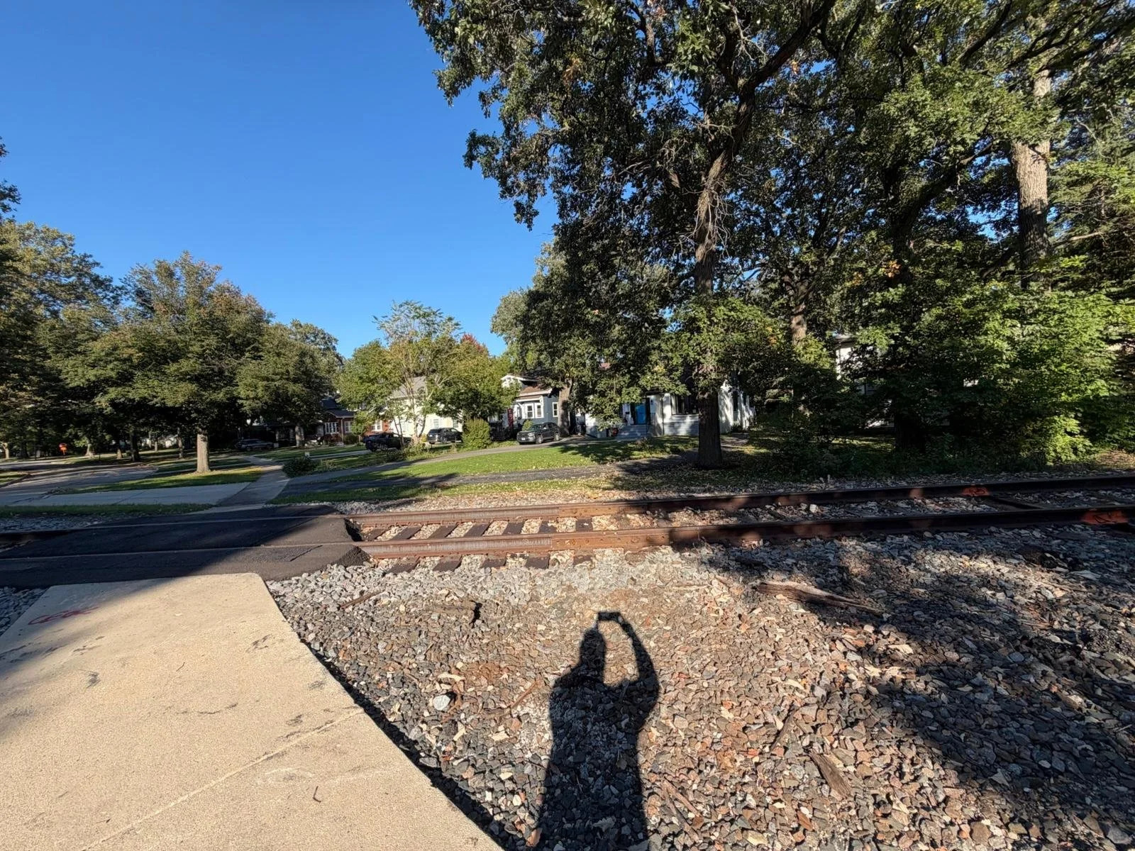
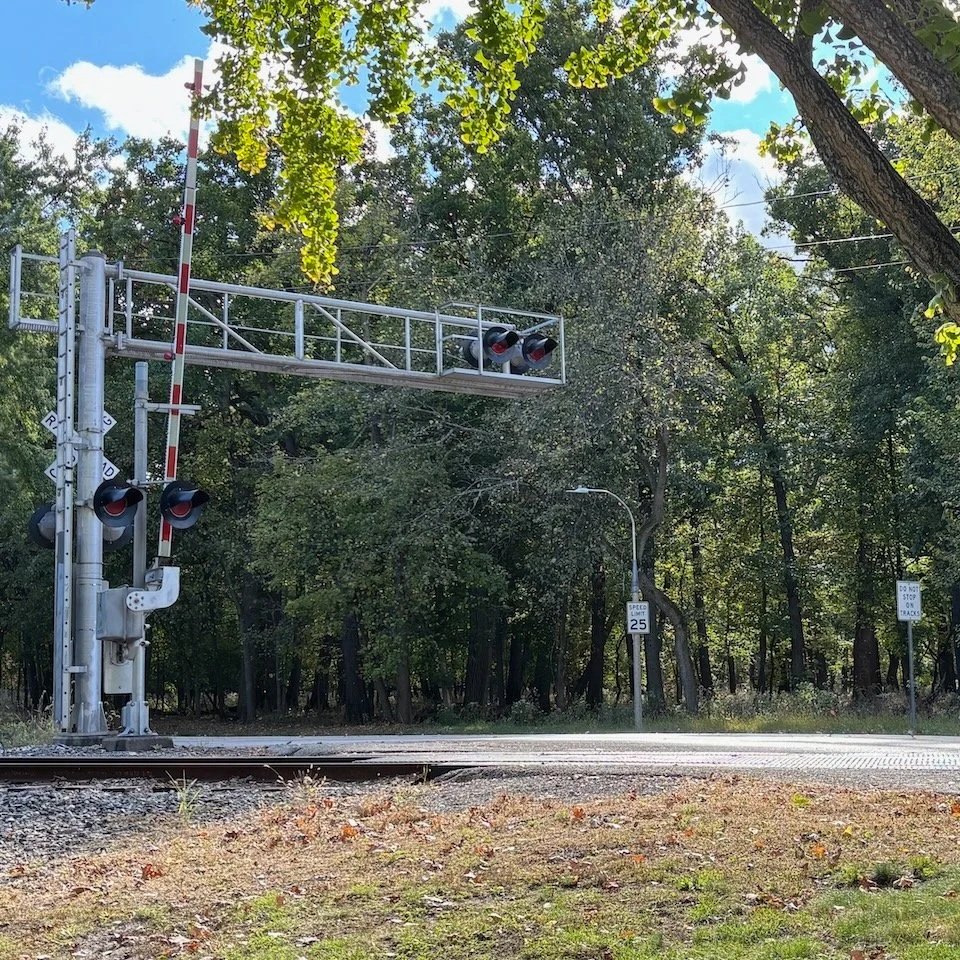
River Forest
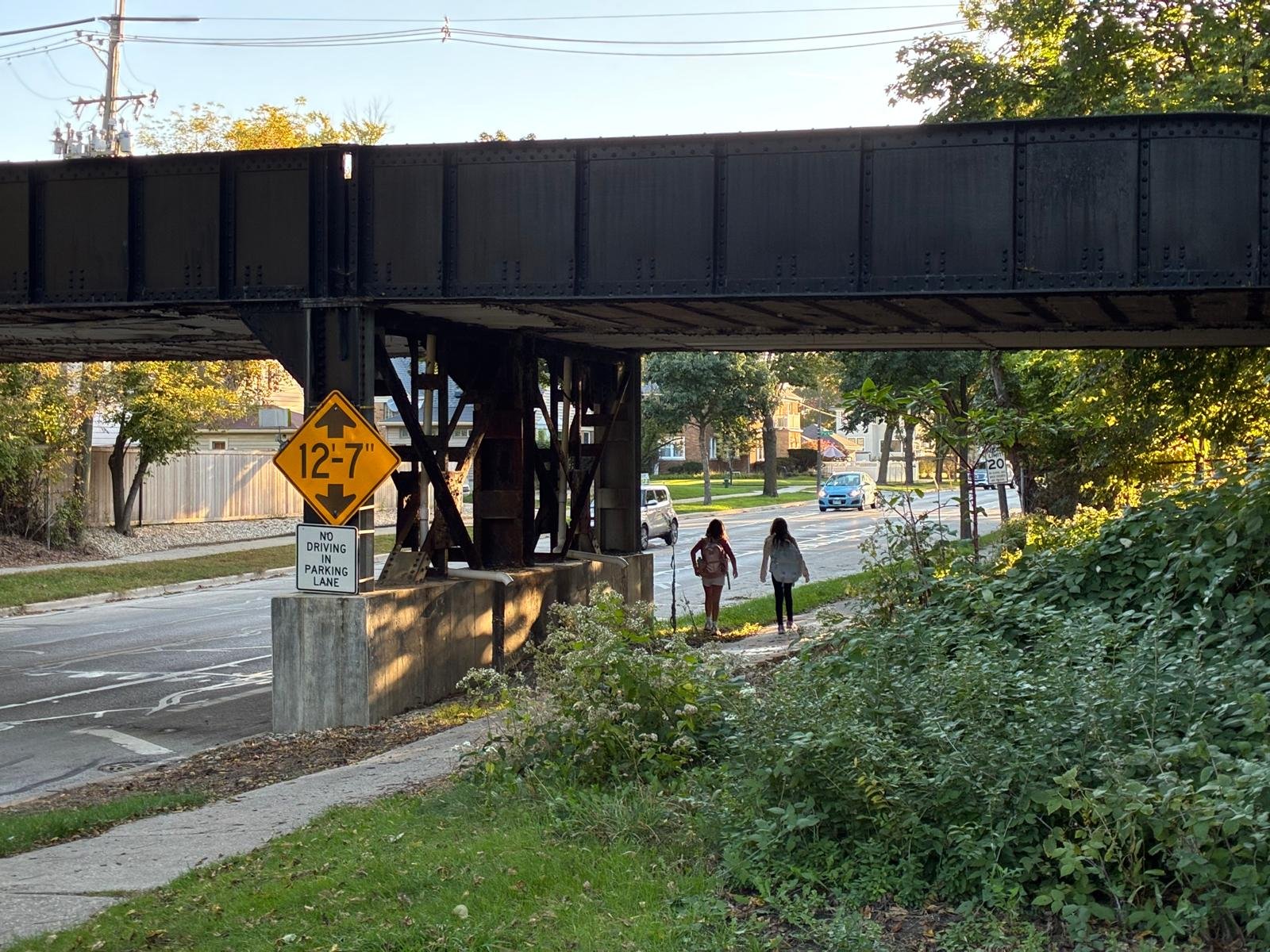
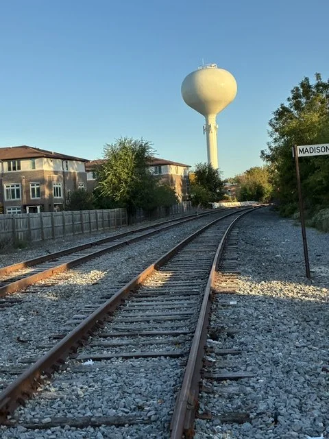
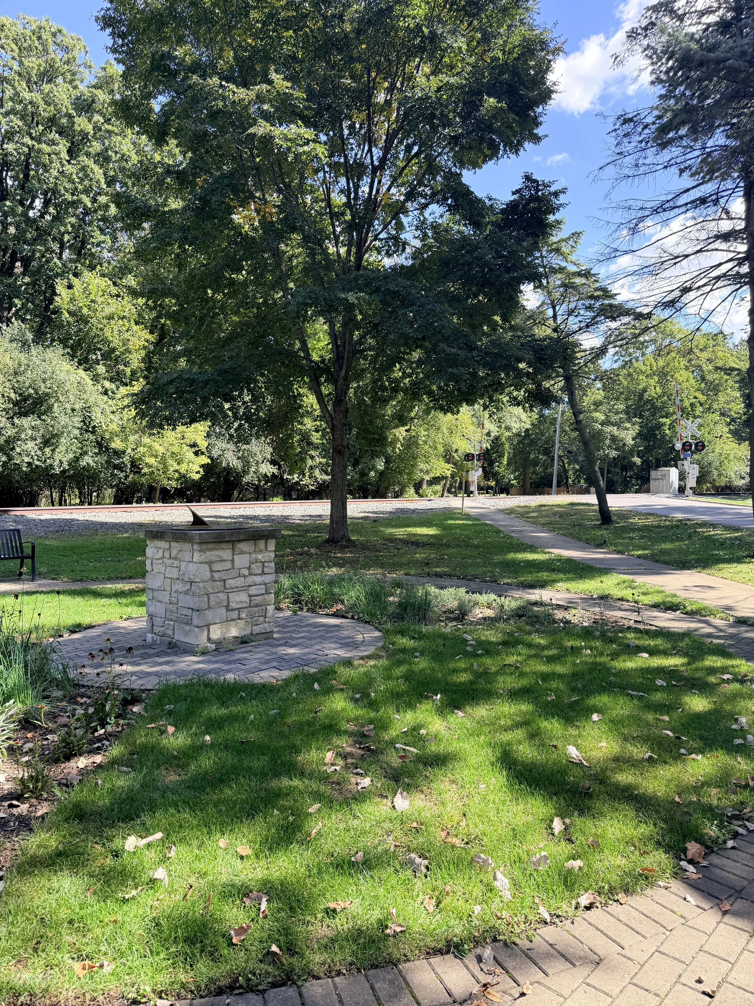
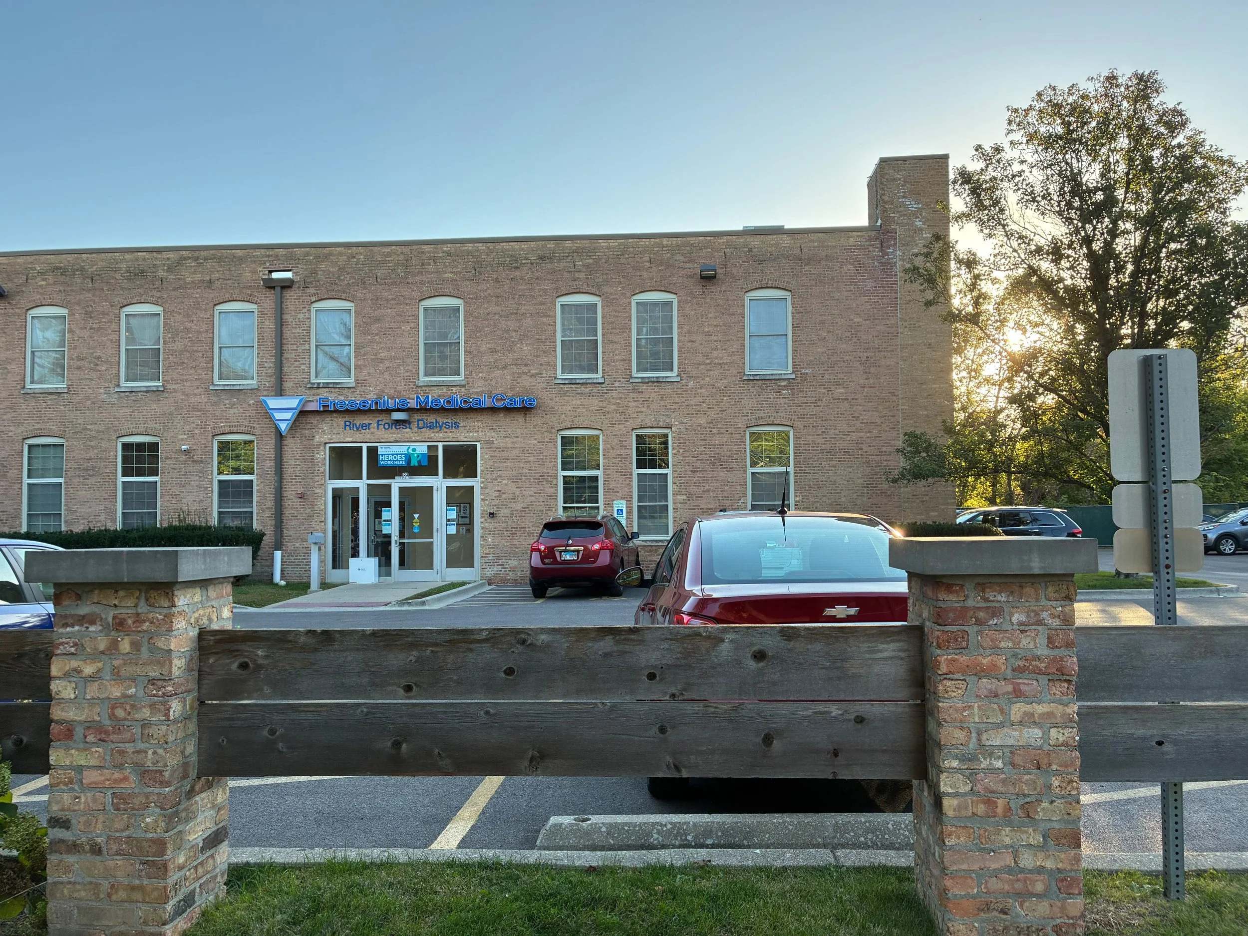
Residences · Elementary school · Two parks · Police department · Fire department · Dialysis clinic
Along the route
Forest Park
Residences · Businesses · Senior residence · Community center


Along the route
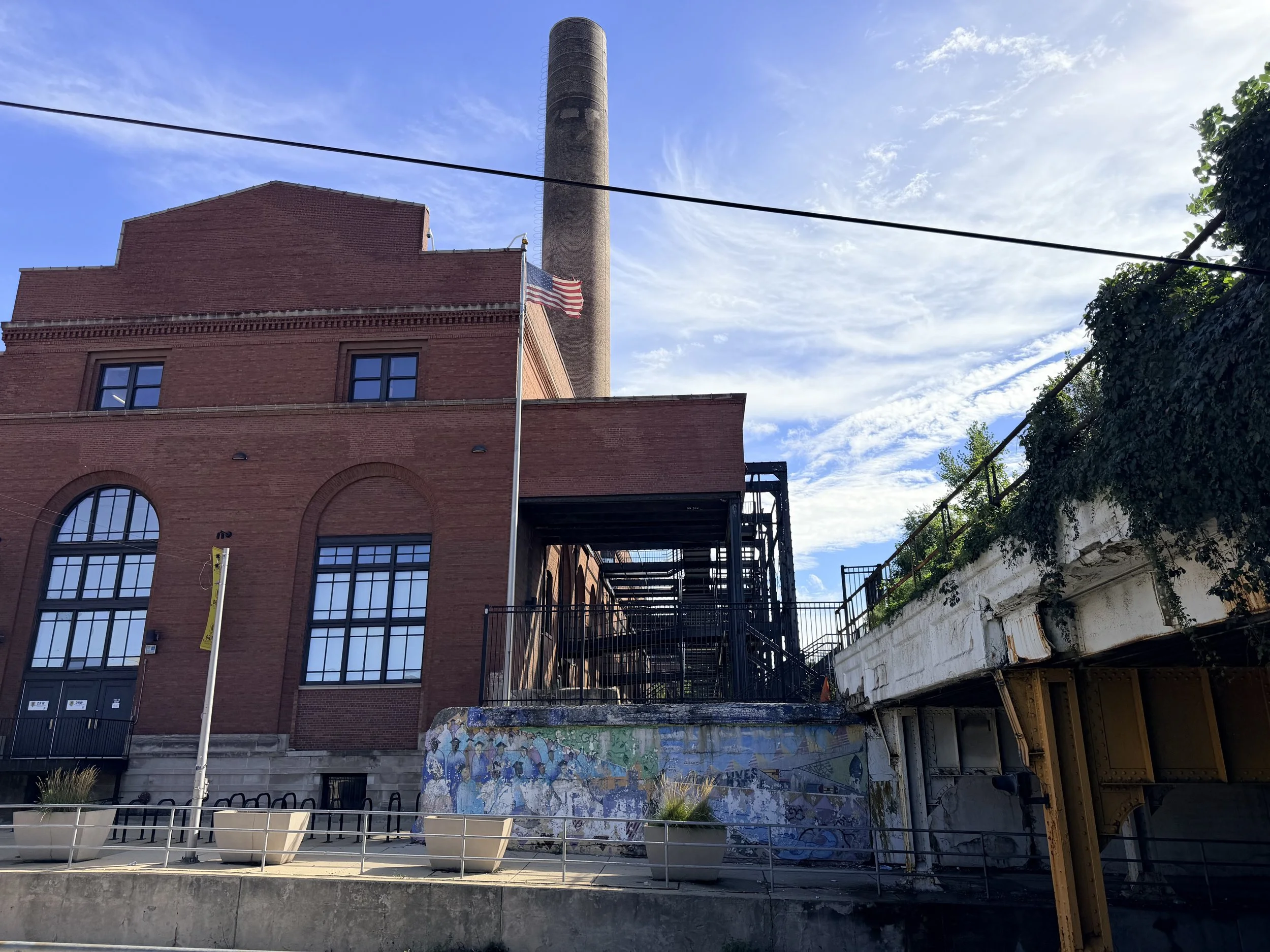
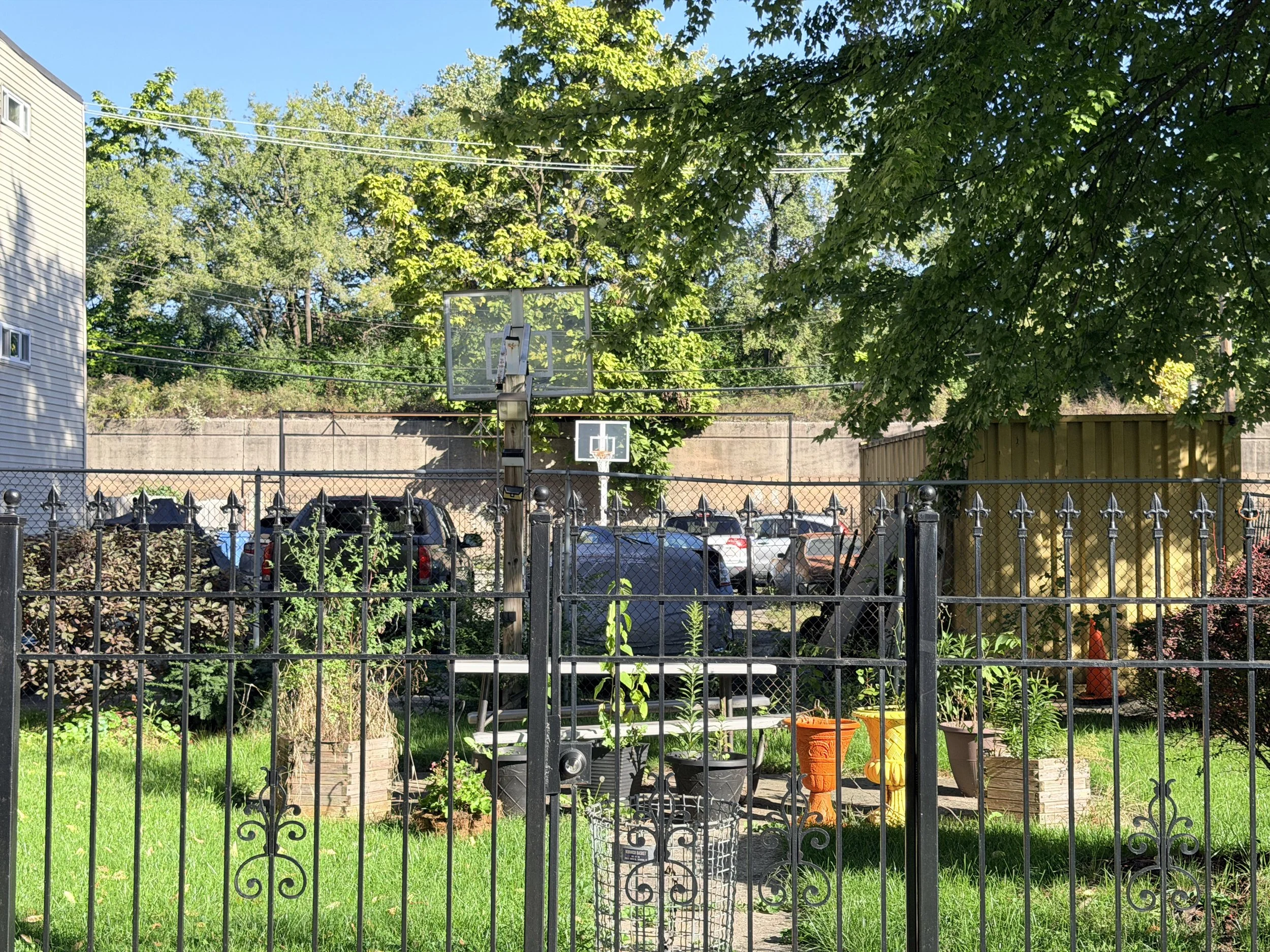
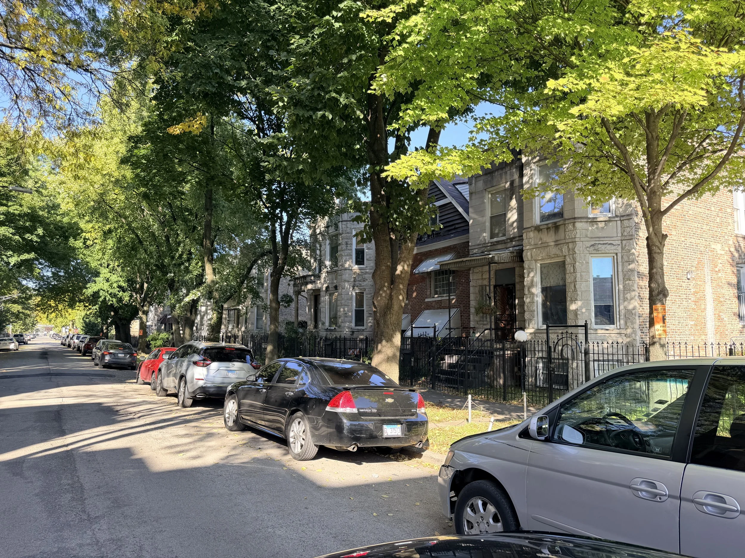
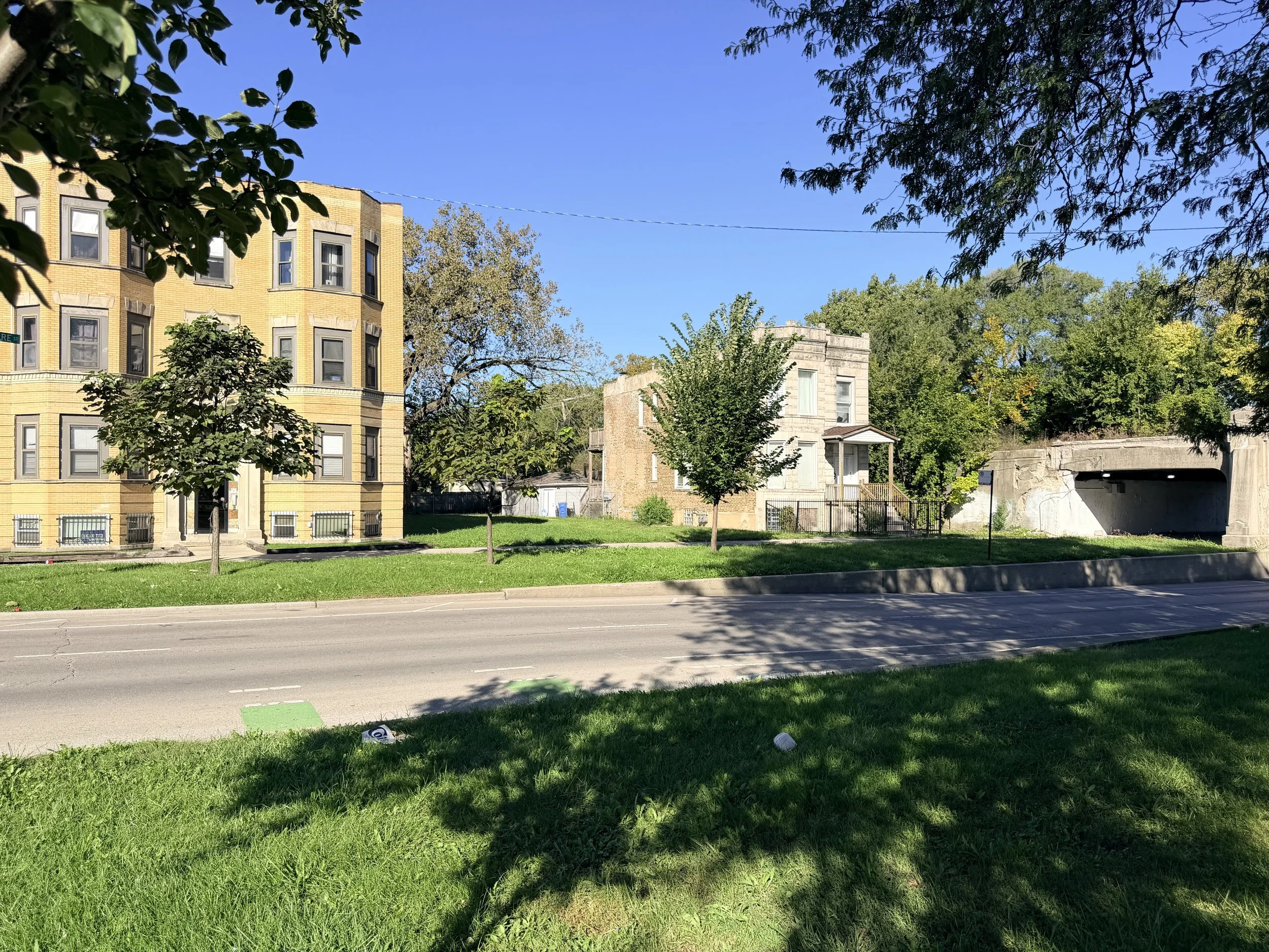
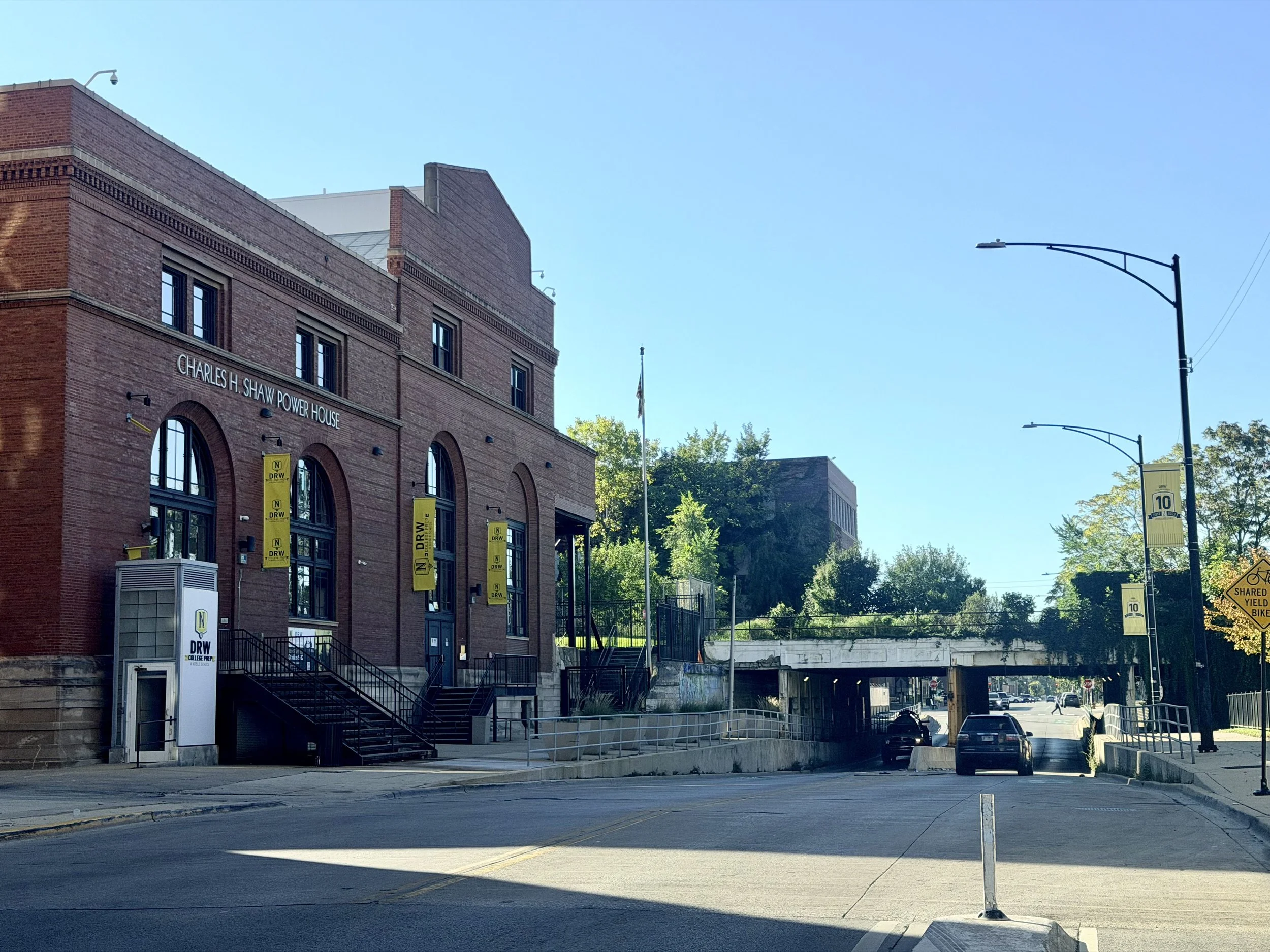
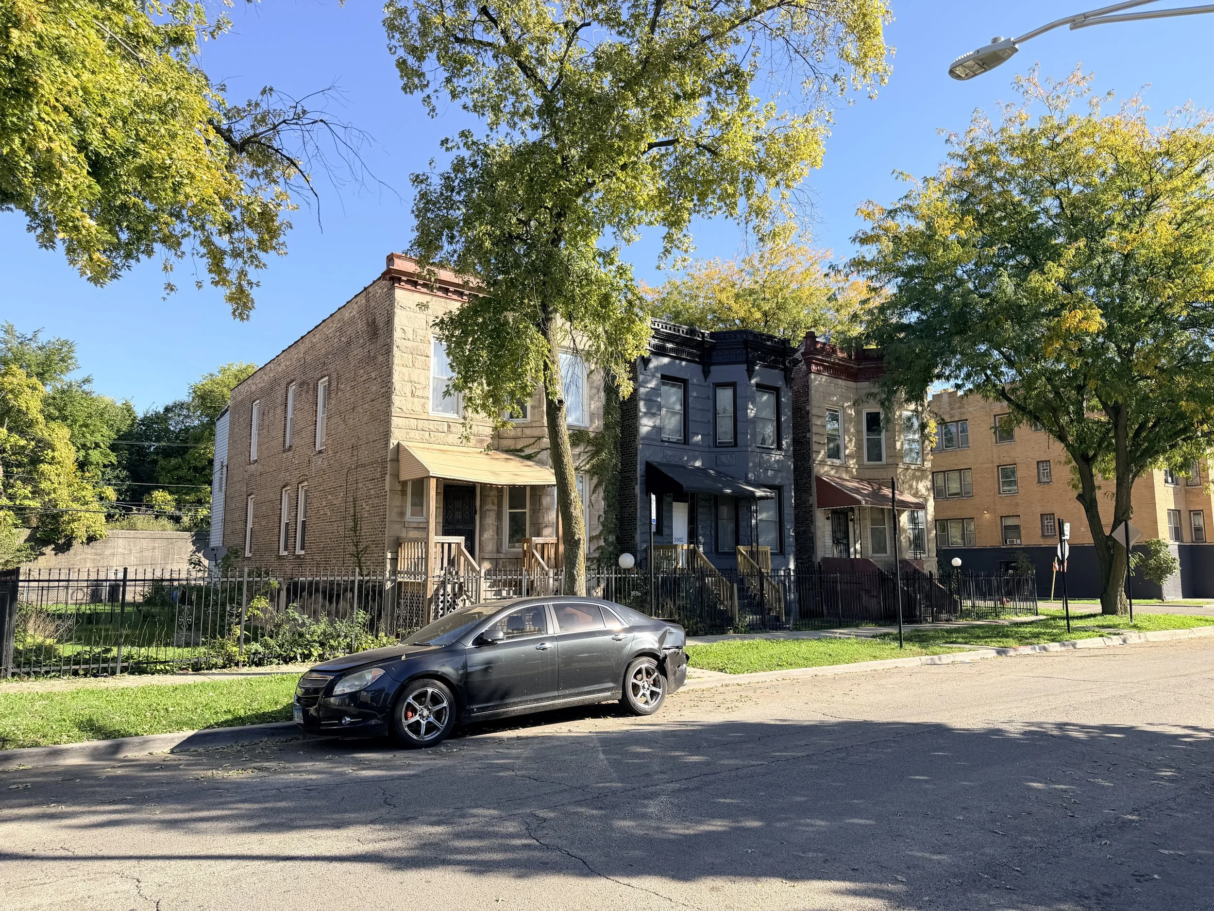
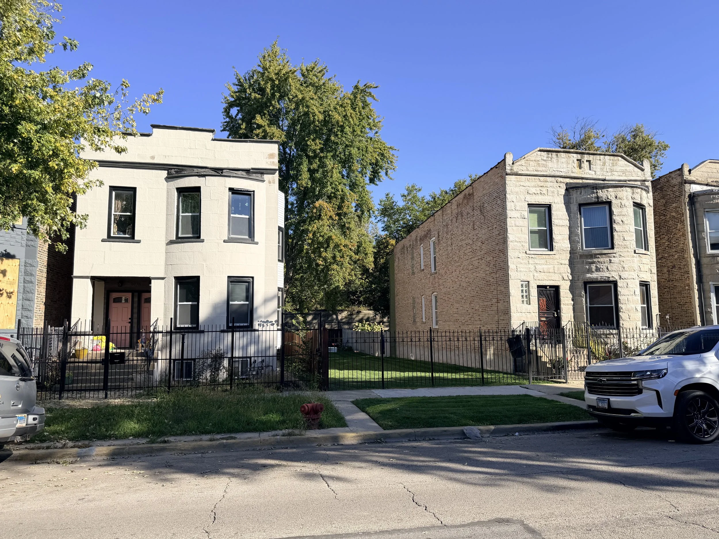
North Lawndale
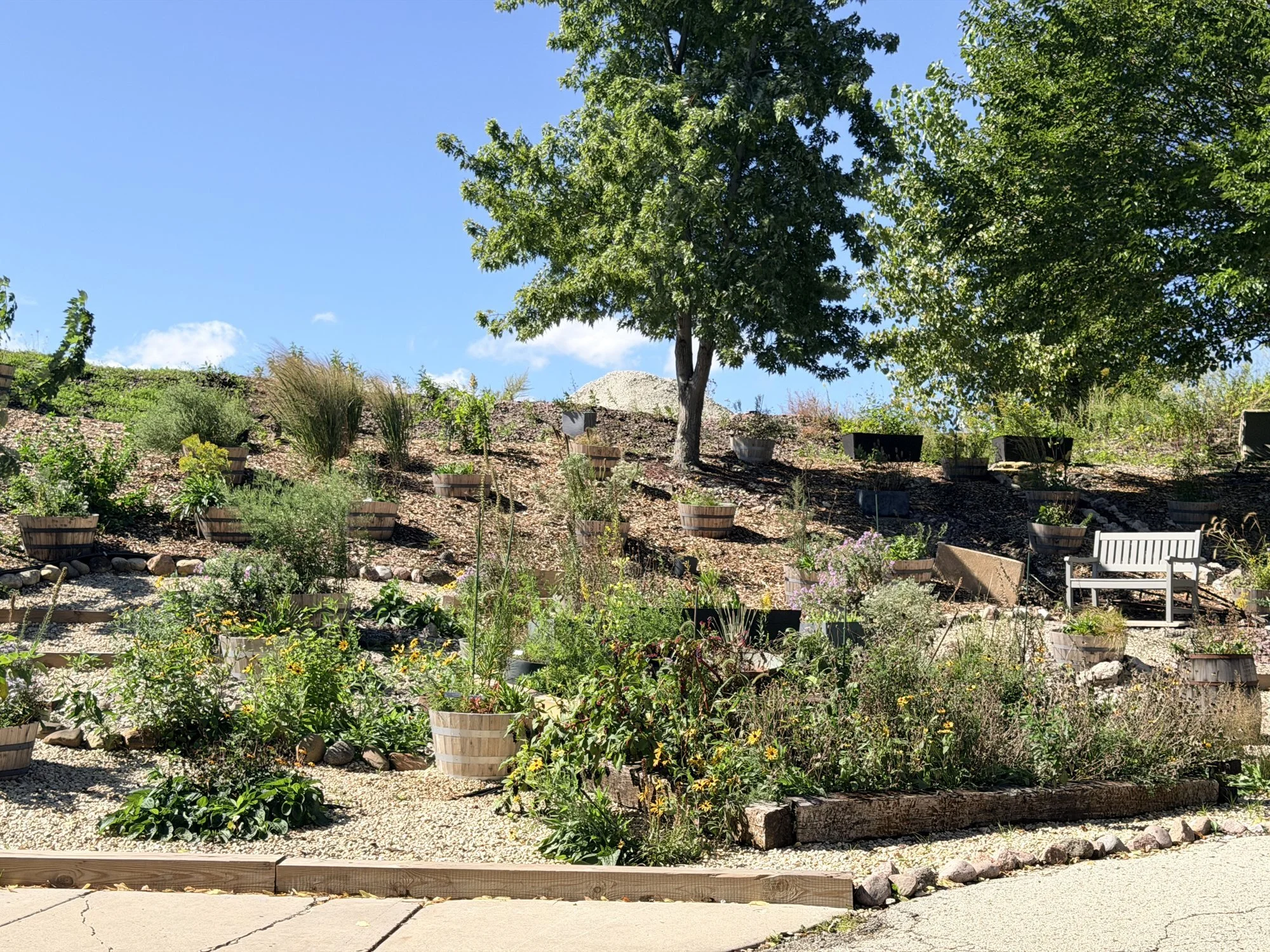
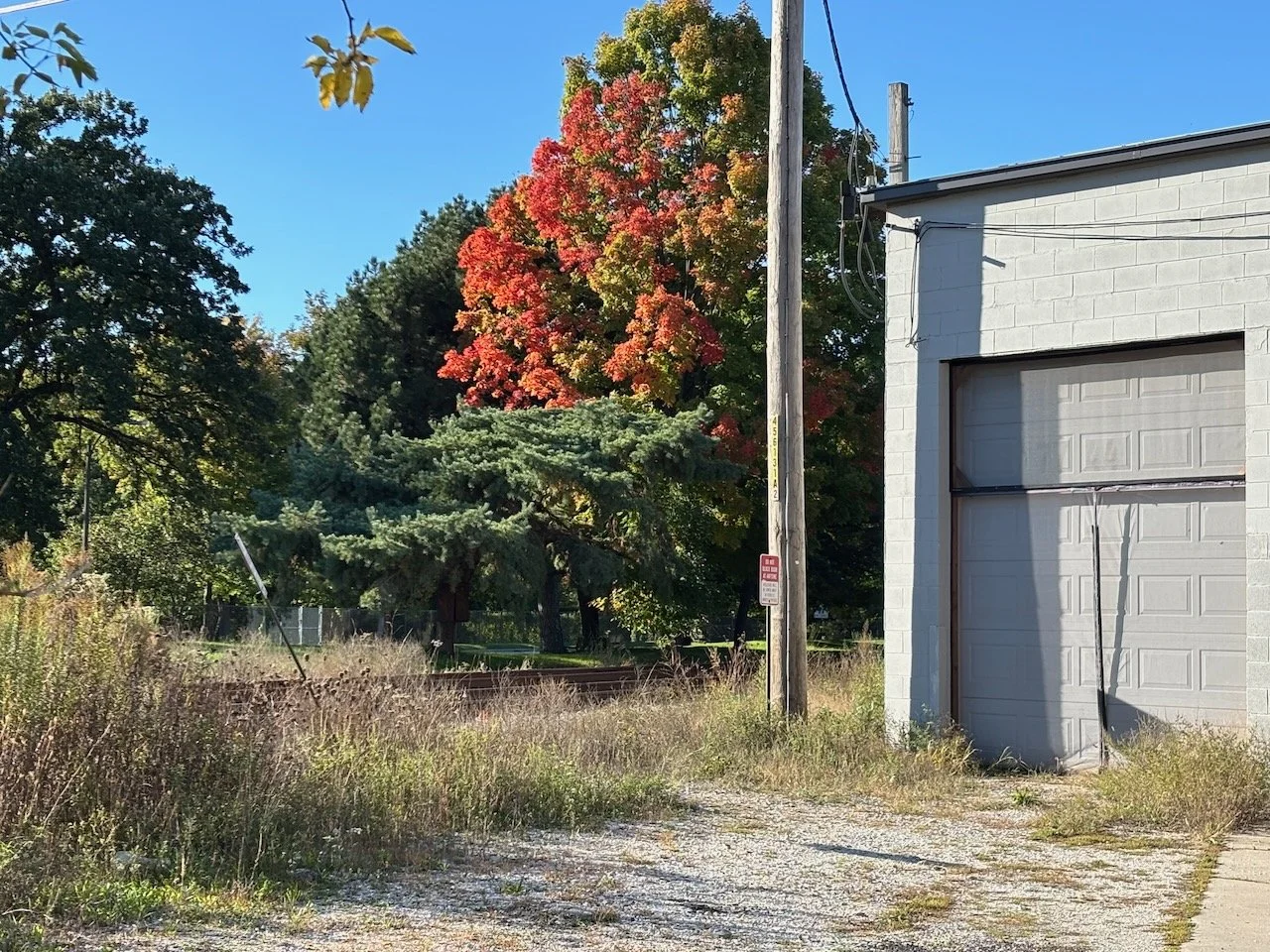
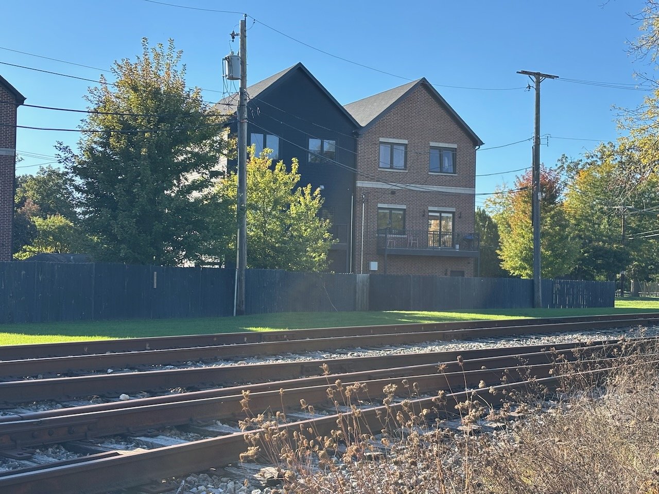
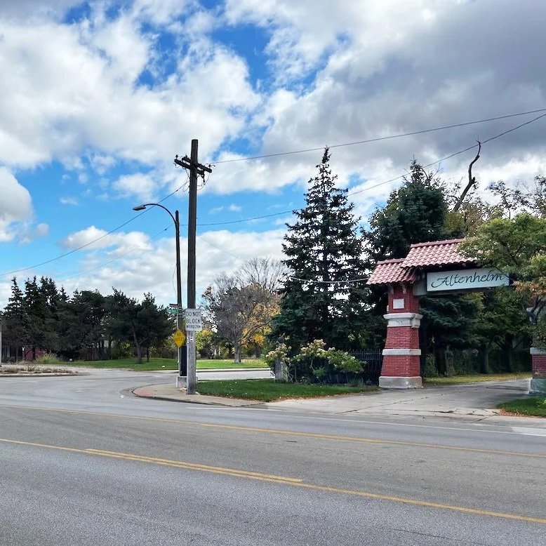
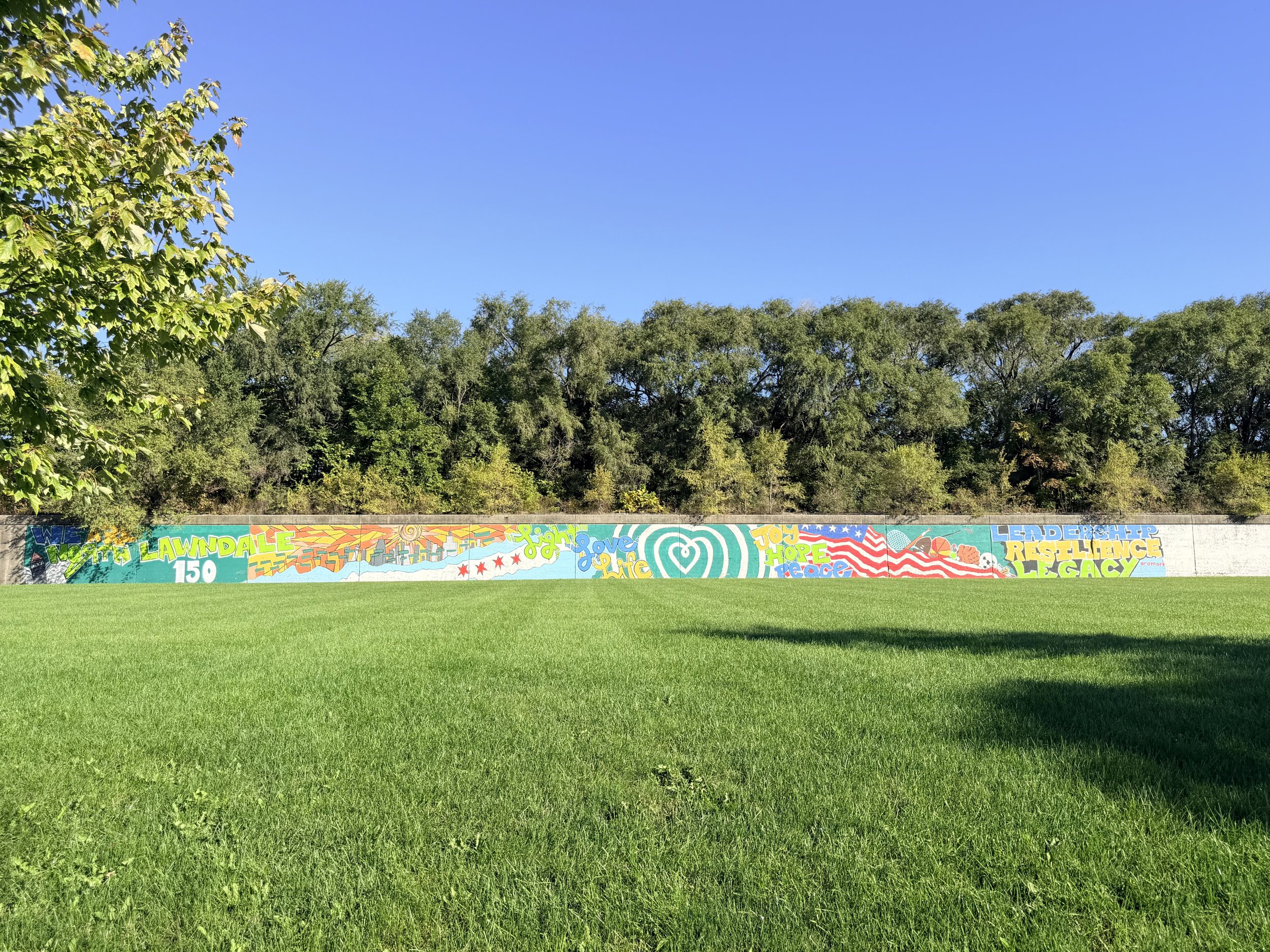
Residences · Businesses · Schools · Public parks · Firehouse · Community garden
Along the route
Little Italy
Residences · Businesses · Public park · Community garden